
Hiking, 13 km
17.6.2026
 Česko
 Polsko
Jablonec nad Nisou (Liberecký kraj)
Logged on Vrcholovka 42x in total. Spočinek Tvarožník was added here by Pája and info was completed by Martin Matějka.
Tvarožník is part of challenge: Via Czechia Severní stezka
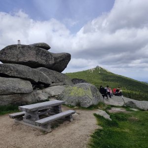
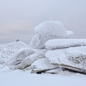
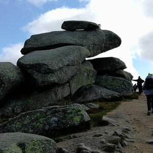
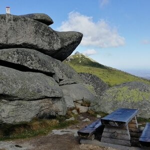
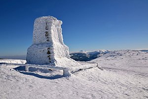
A nice granite crag with a border milestone at the summit.
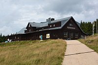
There is no chalet on the peak.
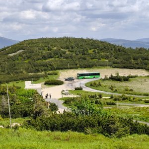
Only with a robust terrain stroller with a hand brake and without a locking front wheel can the summit be reached from Horní Mísečky. I do not recommend the route on weekends during the summer holidays due to high traffic from hikers.
There are views from the peak.
There is no cable car to this peak.
No special equipment is required for this summit.
Peak is freely accessible.
Nearest peaks: Svinské kameny (1323 m, 0.6 km) Szrenica (1361 m, 0.8 km) Kukułcze skały (1127 m, 1.3 km) Końskie Łby (1301 m, 1.4 km) Świątečný Kamień (1185 m, 1.8 km) Borówczane Skały (1165 m, 2 km) Luboch (1296 m, 2 km) Borówczane Skały SV (1159 m, 2.1 km) Violík (1472 m, 2.1 km) Above Szrenický Stream (766 m, 3.1 km) Above Szrenický Stream S (758 m, 3.3 km) Harrachovy kameny (1421 m, 3.6 km) Daniel (685 m, 3.7 km)
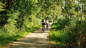 Přechod Krkonoš s dětmi
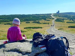 Via Czechia: Severní stezka
 Krkonošská hřebenovka na běžkách
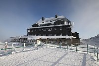
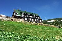
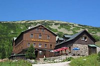

 Szklarska Poręba › South-West: Vosecká bouda
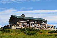
 Szklarska Poręba › South-East: Szrenica - Karkonosze
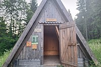
 Szklarska Poręba: Szrenica, Karpacz
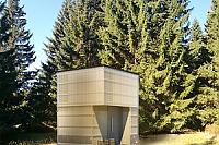
 Szklarska Poreba › North
 Vitkovice: Krkonoše, Vrbatova bouda (pohled na cestu k chatě)
 Špindlerův Mlýn › South-East: Zlaté návrší
 Špindlerův Mlýn: Krkonoše, Špindlerův Mlýn, Labská bouda (pohled na boudu nad Labským dolem)
 Rokytno: Lysá Hora
 Rokytno: Rokytnice n. Jizerou, Lysá hora
 Rokytno: Lysá hora - Rokytnice
 Rokytno: Lysá hora - Rokytnice
 Marysin: Sudety Lift - Karkonosz Express
 Marysin: Sudety Lift -ski
 Rokytnice nad Jizerou › South-West
 Rokytnice nad Jizerou › South-West
 Špindlerův Mlýn › South-East: Martinova bouda
 Vitkovice: Vrbatova Bouda
 Rokytno: Chata Světlanka
 Rokytnice nad Jizerou: II, POI 1
 Szklarska Poręba: Rzeczpospolita - Dolina Szczęścia
 Rokytnice nad Jizerou › West
 Rokytnice nad Jizerou
 Vitkovice: Spindlermühle - Horní Mísečky
 Vitkovice: Spindlermühle - Horní Mísečky
 Rokytnice nad Jizerou › North-east: Blue star ski resort
 Szklarska Poreba Gorna › North-West: Szklarska Poręba - Rzeczpospolita - góry Izerskie, miasto

| today | tomorrow | day after tomorrow | |
|---|---|---|---|
| Dawn: | 7:00 | 7:02 | 6:03 |
| Sunrise: | 7:34 | 7:35 | 6:37 |
| Sunset: | 17:50 | 17:48 | 16:46 |
| Dusk: | 18:23 | 18:21 | 17:20 |