



Hiking
so, 27.12.2025, 10:48
 Polsko
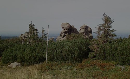
Logged on Vrcholovka 2x in total. Vrchol Końskie Łby was added here by Bouřka and info was completed by Vladimír Grančay a Martin Matějka.
Czech Koňské hlavy. A prominent group of granite rocks in the Krkonoš Mountains, about 3 km above the town of Szklarska Poręba. The rocks, reaching heights of up to 15 meters, are known for their unusual shape and the associated legend of a petrified robber knight. They offer a distant panoramic view of the Jizera Mountains and the Jelenia Góra Valley and are a popular destination for hikers in Karkonoski National Park. Several marked hiking trails lead around or near the rocks. (mapy.cz/wikipidie)
Elevation according to the digital terrain model on the Polish geoportal is 1301 m, prominence about 10 m (the height of the rocks can be up to 15 meters, as stated by Wikipedia, but the rocks are on a slope and the saddle is above them).
There is no chalet on the peak.
Peak is not stroller accessible.
There are views from the peak.
There is no cable car to this peak.
No special equipment is required for this summit.
Peak is freely accessible.
Nearest peaks: Świątečný Kamień (1185 m, 0.5 km) Szrenica (1361 m, 0.6 km) Svinské kameny (1323 m, 0.9 km) Kukułcze skały (1127 m, 1.6 km) Luboch (1296 m, 1.8 km) Borówczane Skały (1165 m, 2 km) Borówczane Skały SV (1159 m, 2 km) Above Szrenický Stream (766 m, 2.1 km) Above Szrenický Stream S (758 m, 2.2 km) Przedzial (1068 m, 2.6 km) Daniel (685 m, 2.7 km) Danek (755 m, 2.9 km) Łysa Góra (674 m, 2.9 km) Łysa Góra (665 m, 3 km) Gonciarek (632 m, 3.4 km) Skalnica (679 m, 3.5 km)
 Přechod Krkonoš s dětmi
 Via Czechia: Severní stezka
 Krkonošská hřebenovka na běžkách
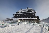
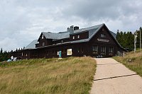
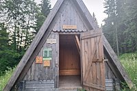
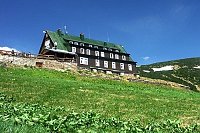
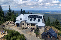

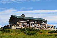
 Szklarska Poręba › South-East: Szrenica - Karkonosze
 Rokytnice nad Jizerou › South: Vosecká bouda
 Szklarska Poręba › South-West: Vosecká bouda
 Szklarska Poreba › North
 Marysin: Sudety Lift - Karkonosz Express
 Marysin: Sudety Lift -ski
 Vitkovice: Krkonoše, Vrbatova bouda (pohled na cestu k chatě)
 Špindlerův Mlýn › South-East: Zlaté návrší
 Špindlerův Mlýn: Krkonoše, Špindlerův Mlýn, Labská bouda (pohled na boudu nad Labským dolem)
 Szklarska Poręba: Rzeczpospolita - Dolina Szczęścia
 Rokytno: Rokytnice n. Jizerou, Lysá hora
 Rokytno: Lysá Hora
 Rokytno: Lysá hora - Rokytnice
 Rokytno: Lysá hora - Rokytnice
 Rokytnice nad Jizerou › South-West
 Rokytnice nad Jizerou › South-West
 Vitkovice: Vrbatova Bouda
 Szklarska Poreba Gorna › North-West: Szklarska Poręba - Rzeczpospolita - góry Izerskie, miasto
 Rokytno: Chata Světlanka
 Rokytnice nad Jizerou: II, POI 1

| today | tomorrow | day after tomorrow | |
|---|---|---|---|
| Dawn: | 6:10 | 6:11 | 6:13 |
| Sunrise: | 6:44 | 6:46 | 6:47 |
| Sunset: | 16:38 | 16:36 | 16:35 |
| Dusk: | 17:12 | 17:11 | 17:09 |

