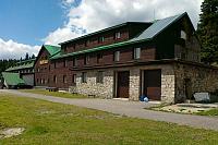
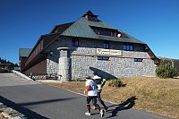


Hiking, 24 km
8.5.2026
 Česko
Šumperk (Olomoucký kraj)
Logged on Vrcholovka 44x in total. Spočinek Kamenec was added here by Luke and info was completed by krupjan.
Kamenec is not an independent peak, just a ridge on the slope of Mravenečník. There is no marked hiking trail leading to it, but it can be accessed by turning off the hiking route from Tetřeví chata to Mravenečník along a forest path. There is no geodetic point here. Due to the higher vegetation, there are no views.
There is no chalet on the peak.
Peak is not stroller accessible.
There are no views from the peak.
There is no cable car to this peak.
No special equipment is required for this summit.
Peak is freely accessible.
Nearest peaks: Mravenečník (1343 m, 0.9 km) Rysí skála (1167 m, 1.1 km) Dlouhé stráně (1354 m, 1.5 km) Čepel (998 m, 1.8 km) Vřesník (1342 m, 2.2 km) Rocks (864 m, 2.3 km) Tupý vrch (1122 m, 2.3 km) Ridges Z (980 m, 2.8 km) Hřbety (1058 m, 3.2 km) U Vlčího sedla (801 m, 3.3 km) Homole (1209 m, 3.5 km)
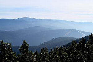 Sudetský okuh přes Praděd a Králický Sněžník
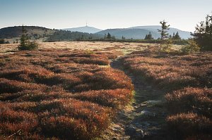
 Loucna nad Desnou: Kouty nad Desnou
 Loucna nad Desnou: Kouty nad Desnou
 Loucna nad Desnou: Skiareál Kouty nad Desnou - Sjezdovka K Snowparku
 Vernirovice: Resort a skiareál Brněnka - Sjezdovka
 Loučná nad Desnou › East: Hrubý Jeseník
 Loucna nad Desnou
 Kouty nad Desnou: Červenohorské sedlo - Modrá sjezdovka - dojezd k lanové dráze
 Bela pod Pradedem: Červenohorské sedlo
 Bela pod Pradedem: Červenohorské sedlo
 Bela pod Pradedem: Červenohorské sedlo

| today | tomorrow | day after tomorrow | |
|---|---|---|---|
| Dawn: | 6:53 | 6:54 | 5:56 |
| Sunrise: | 7:26 | 7:28 | 6:29 |
| Sunset: | 17:45 | 17:43 | 16:41 |
| Dusk: | 18:18 | 18:16 | 17:14 |