



Hiking, 17 km
15.10.2026
 Rakousko
Logged on Vrcholovka 9x in total. Vrchol Klosterwappen S was added here by Daniel Ledl.
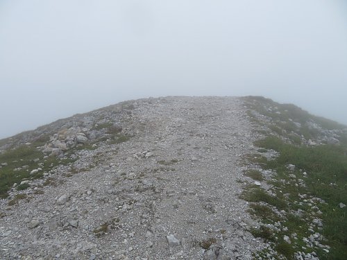
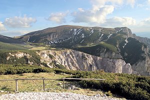
A prominent ridge outcrop between the peaks of Kaiserstein and Klosterwappen. The summit is bare. There is no geodetic point at the top. A ridge trail connects the peaks of Kaiserstein and Klosterwappen.
There is no chalet on the peak.
With terrain through Kaiserstein
Assuming good weather without fog
There is no cable car to this peak.
No special equipment is required for this summit.
Peak is freely accessible.
Nearest peaks: Klosterwappen (2076 m, 0.2 km) Donnerkogel (2047 m, 0.3 km) Kaiserstein (2061 m, 0.6 km) Kleeberg (1925 m, 0.7 km) Miesriegel (1907 m, 0.9 km) Schwarzriegel (1865 m, 1.4 km) Kögerl (1513 m, 1.6 km) Turmstein (1416 m, 1.8 km) Red Wall (1520 m, 1.9 km) Ochsenboden (1525 m, 2 km) Waxriegel S (1869 m, 2 km) Waxriegel (1888 m, 2.1 km) Schwarzkogel (1521 m, 2.2 km) Lärchkogel (1352 m, 2.3 km) Dambockberg (1794 m, 2.4 km) Stadelwandhöhe (1407 m, 2.4 km) Windlöcherhöhe (1476 m, 2.4 km) Brandschneide (1165 m, 2.7 km) Hirschenwall (1454 m, 2.8 km) Kleinrehgrubenberg (1542 m, 2.8 km) Board wall (1170 m, 2.9 km) Hochgang (1217 m, 2.9 km) Rötlingstein (1532 m, 3 km) Brettschacher (1012 m, 3.2 km) Stritzelberg (1182 m, 3.3 km) Dürre Leiten (1249 m, 3.5 km) Krummbachstein (1603 m, 3.6 km)
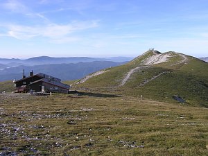 Výstup okruhem na Vídeňský Sněžník - Schneeberg
 Přechod rakouské náhorní planiny Raxalpe na sněžnicích
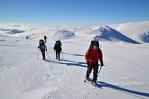 Výstup na Windberg
 Přechod náhorní planiny Raxalpe
 Sněžnicový výstup na nejvyšší vrchol pohoří Raxalpe – Heukuppe
 Gemeinde Puchberg am Schneeberg › South
 Gemeinde Puchberg am Schneeberg › South-West
 Gemeinde Puchberg am Schneeberg: Schneeberg Fischerhuette
 Losenheim: Wetter-Webcam Puchberg am Schneeberg
 Gemeinde Puchberg am Schneeberg › North-West
 Gemeinde Puchberg am Schneeberg: Hochschneeberg
 Gemeinde Puchberg am Schneeberg › North-East
 Gemeinde Puchberg am Schneeberg › East
 Losenheim: Schneeberg
 Gemeinde Puchberg am Schneeberg
 Gemeinde Reichenau an der Rax › East: Rax Cableway
 Katastralgemeinde Klein- und Grossau: Raxseilbahn - Raxalm Berggasthof
 Katastralgemeinde Klein- und Grossau: Raxalpe - Ottohaus

| today | tomorrow | day after tomorrow | |
|---|---|---|---|
| Dawn: | 6:00 | 6:01 | 6:03 |
| Sunrise: | 6:32 | 6:33 | 6:35 |
| Sunset: | 16:49 | 16:47 | 16:46 |
| Dusk: | 17:21 | 17:19 | 17:17 |














