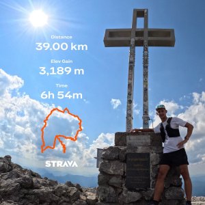
Hiking, 17 km
15.10.2026
 Rakousko
Logged on Vrcholovka 52x in total. Vrchol Klosterwappen was added here by Bobesh72 and info was completed by Milan "Hojší" Průžek, Martin Matějka a PetanOP.
Klosterwappen is part of challenges: Austrian Alps, King of the Eastern Alps (Hochschwab, Rax, Schneeberg, Murzsteg, Cetic), Nej Dolních Rakous
This is the highest mountain in Lower Austria and also the easternmost two-thousander in the Alps, which is one of the home mountains of the Viennese.
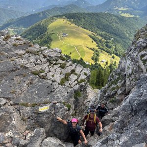
The ascent to the summit from the south passes through several interesting gorges, and although it is not technically demanding, a significant elevation gain must be overcome.
In favorable visibility, the prominent Schneeberg can be seen from many places in Moravia, for example from the peaks of Chřiby, the White Carpathians, from Babí lom near Brno, or from Pekelný kopec and Klučovská hora near Třebíč, from Kopeček in the Žďárské vrchy, and from Radhošť.
There is no chalet on the peak.
Peak is not stroller accessible.
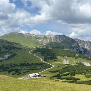
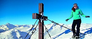
There are views from the peak.
There is no cable car to this peak.
No special equipment is required for this summit.
Peak is freely accessible.
Nearest peaks: Klosterwappen S (2069 m, 0.2 km) Donnerkogel (2047 m, 0.5 km) Kaiserstein (2061 m, 0.8 km) Kleeberg (1925 m, 0.8 km) Miesriegel (1907 m, 0.8 km) Schwarzriegel (1865 m, 1.4 km) Turmstein (1416 m, 1.7 km) Kögerl (1513 m, 1.8 km) Red Wall (1520 m, 1.9 km) Waxriegel S (1869 m, 2 km) Lärchkogel (1352 m, 2.1 km) Ochsenboden (1525 m, 2.1 km) Stadelwandhöhe (1407 m, 2.1 km) Waxriegel (1888 m, 2.1 km) Schwarzkogel (1521 m, 2.3 km) Dambockberg (1794 m, 2.4 km) Brandschneide (1165 m, 2.5 km) Windlöcherhöhe (1476 m, 2.6 km) Hochgang (1217 m, 2.7 km) Board wall (1170 m, 2.8 km) Kleinrehgrubenberg (1542 m, 2.9 km) Brettschacher (1012 m, 3 km) Hirschenwall (1454 m, 3 km) Rötlingstein (1532 m, 3.2 km) Krummbachstein (1603 m, 3.5 km)
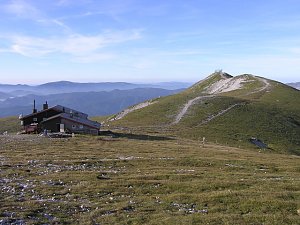 Výstup okruhem na Vídeňský Sněžník - Schneeberg
 Přechod rakouské náhorní planiny Raxalpe na sněžnicích
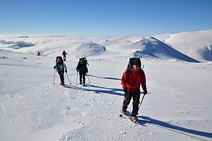 Výstup na Windberg
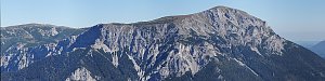 Přechod náhorní planiny Raxalpe
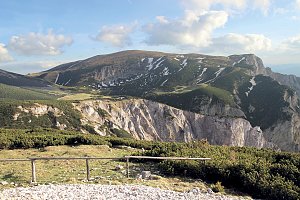 Sněžnicový výstup na nejvyšší vrchol pohoří Raxalpe – Heukuppe
 Gemeinde Puchberg am Schneeberg › South-West
 Gemeinde Puchberg am Schneeberg: Schneeberg Fischerhuette
 Gemeinde Puchberg am Schneeberg › North
 Losenheim: Wetter-Webcam Puchberg am Schneeberg
 Gemeinde Puchberg am Schneeberg › North-West
 Gemeinde Puchberg am Schneeberg: Hochschneeberg
 Gemeinde Puchberg am Schneeberg › North-East
 Gemeinde Puchberg am Schneeberg › East
 Losenheim: Schneeberg
 Gemeinde Puchberg am Schneeberg
 Gemeinde Reichenau an der Rax › East: Rax Cableway
 Katastralgemeinde Klein- und Grossau: Raxseilbahn - Raxalm Berggasthof
 Katastralgemeinde Klein- und Grossau: Raxalpe - Ottohaus

| today | tomorrow | day after tomorrow | |
|---|---|---|---|
| Dawn: | 6:57 | 5:58 | 6:00 |
| Sunrise: | 7:29 | 6:30 | 6:32 |
| Sunset: | 17:52 | 16:51 | 16:49 |
| Dusk: | 18:24 | 17:22 | 17:21 |