



Hiking, 15 km
25.6.2025
Rakousko
Logged on Vrcholovka 2x in total. Peak information here was completed by Martin Matějka, Jiří Králík a Jan Blažej.
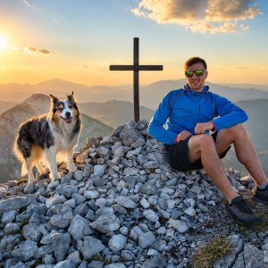
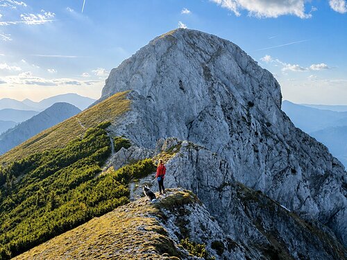
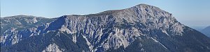
The most beautiful peak in the entire Windberggruppe. We nicknamed it "cake". Additionally, it forms the most beautiful ridge in the area. Summit cross. Views.
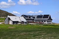
2 km Michlbauernhutte
Peak is not stroller accessible.
long way to the summit and back
There is no cable car to this peak.
No special equipment is required for this summit.
Peak is freely accessible.
Nearest peaks: Mitterturm (1829 m, 0.1 km) Kleiner Mitterridge (1830 m, 0.3 km) Hohes Gamskircherl (1752 m, 0.5 km) Gross Mitterridge (1840 m, 0.7 km) Nieder Gamskircherl (1654 m, 0.9 km) Gläserkogel (1819 m, 1.2 km) Schusterstuhl (1875 m, 1.2 km) Gläserkogel (1746 m, 1.3 km) Große Burgwand (1614 m, 1.3 km) Kitzberg (1581 m, 1.3 km) Kramerin (1833 m, 1.3 km) Hinterer Windberg (1874 m, 1.4 km) Burgwandalm (1577 m, 1.5 km) Vorder Burgwand (1478 m, 1.5 km) Windberg (1903 m, 1.5 km) Donnerwand (1799 m, 1.6 km) Kleine Burgwand (1787 m, 1.6 km) Nasenknopp (1832 m, 1.6 km) Hintere Burgwand (1782 m, 1.7 km) Hoher Knopp (1864 m, 1.7 km) Hoher Klapf (1865 m, 1.8 km) Nasendonner (1623 m, 1.8 km) Nieder Knopp (1830 m, 1.8 km) Karlwand (1811 m, 1.9 km) Langseiten (1785 m, 1.9 km) Kleiner Karlwand (1793 m, 2.1 km) Mooskogel (1788 m, 2.1 km) Nassenschönhaltereck (1835 m, 2.1 km) Nieder Schönhaltereck (1831 m, 2.1 km) Schönhaltereck (1860 m, 2.1 km) Schönhaltereck SZ (1857 m, 2.1 km) Karleck (1768 m, 2.2 km) Kleine Goldgrubenhöhe (1227 m, 2.3 km) Niederer Klapf (1785 m, 2.3 km) Brunnwand (1803 m, 2.4 km) Kleines Waxenegg (1682 m, 2.4 km) Brunnkogel (1798 m, 2.6 km) Große Goldgrubenhöhe (1425 m, 2.7 km) Mittenkogel (1778 m, 2.7 km) Öde Kirche (1644 m, 2.7 km) Schauerkogel (1788 m, 2.7 km) Grünkogel (1813 m, 2.8 km) Brandberg (1778 m, 3 km) Grassgrabenhöhe (1474 m, 3.1 km) Rauhenstein (1770 m, 3.3 km)
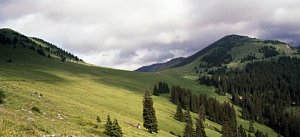 Přechod Heukuppe přes ferraty Alpevereinsteig a Bismarcksteig
| today | tomorrow | day after tomorrow | |
|---|---|---|---|
| Dawn: | 6:19 | 6:21 | 6:22 |
| Sunrise: | 6:52 | 6:54 | 6:55 |
| Sunset: | 16:30 | 16:28 | 16:27 |
| Dusk: | 17:03 | 17:01 | 17:00 |