


Hiking
út, 13.8.2024, 10:40


 Česko
Logged on Vrcholovka 3x in total. Vrchol Kóta was added here by Jaroslav Hrabuška.
Saddle.
There is no chalet on the peak.
This peak is accessible with a stroller.
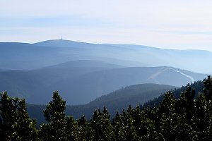
There are no views from the peak.
There is no cable car to this peak.
No special equipment is required for this summit.
Peak is freely accessible.
Nearest peaks: Lyra J2 (1085 m, 0.6 km) Lyra J (1097 m, 0.8 km) Lyra (1103 m, 1.3 km) Prostřední vrch SV (1131 m, 1.3 km) Lyra S (1086 m, 1.4 km) Ostrý vrch (1230 m, 1.4 km) Prostřední vrch (1153 m, 1.5 km) Roland's Stone (937 m, 1.6 km) Hradečná (1057 m, 2 km) Žárový vrch JZ (1012 m, 2.5 km) Nad kapličkou (855 m, 2.7 km) Žárový vrch (1101 m, 3.1 km) Žárový vrch V (1100 m, 3.2 km) U pecí (850 m, 3.4 km)
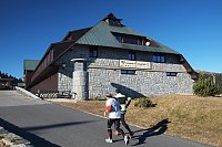
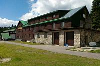
 Mala Moravka: Praděd - Horský hotel Volareza - Horská služba
 Mala Moravka: Praděd - Horský hotel Volareza
 Mala Moravka: Praděd - Horský hotel Volareza - Bílá Opava
 Mala Moravka: Praděd - Horský hotel Volareza - Petrovy kameny
 Malá Morávka: Kopřivná Pradědem
 Mala Moravka: Kopřivná
 Mala Moravka: Kopřivná
 Mala Moravka: Kopřivná II
 Mala Moravka

| today | tomorrow | day after tomorrow | |
|---|---|---|---|
| Dawn: | 6:52 | 6:54 | 5:55 |
| Sunrise: | 7:25 | 7:27 | 6:29 |
| Sunset: | 17:44 | 17:42 | 16:40 |
| Dusk: | 18:17 | 18:15 | 17:13 |

