
Hiking, 9 km
21.3.2026
 Česko
Bruntál (Moravskoslezský kraj)
Logged on Vrcholovka 83x in total. Peak information here was completed by RŠind, Martin Matějka a Jiří Králík.
Lyra is part of challenges: Koruna Sudet, Nejhory Moravskoslezska, Thousanders of the Czech Republic, Thousanders of the Jeseníky, Ultrapeaks
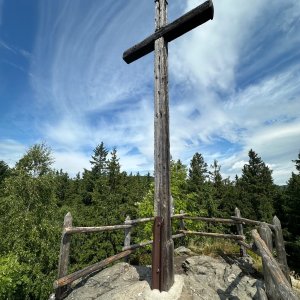
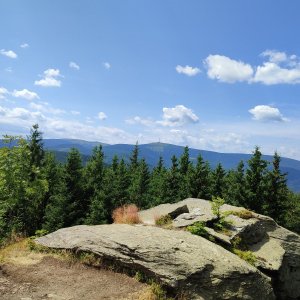
A prominent mountain in the Žárový Ridge between Praděd and Vrbno pod Pradědem. The summit rock is located about 100 meters north of the geodetic point. The safe ascent to the rock is from the northeast. Nearby, there are a few other rocky viewpoints. The height of the summit rock according to measurements by Michal Holub from Tisícovky.cz.
There is no chalet on the peak.
Peak is not stroller accessible.
There are views from the peak.
There is no cable car to this peak.
No special equipment is required for this summit.
Peak is freely accessible.
Nearest peaks: Lyra S (1086 m, 0.1 km) Lyra J (1097 m, 0.6 km) Lyra J2 (1085 m, 0.7 km) Žárový vrch JZ (1012 m, 1.3 km) Prostřední vrch SV (1131 m, 1.9 km) Žárový vrch (1101 m, 1.9 km) Žárový vrch V (1100 m, 2 km) Prostřední vrch (1153 m, 2.1 km) Roland's Stone (937 m, 2.1 km) Nad kapličkou (855 m, 2.2 km) Ostrý vrch (1230 m, 2.4 km) Žárový vrch SV (1045 m, 2.7 km) Žárový vrch SV2 (1037 m, 2.8 km) Mrazový vrch (980 m, 2.9 km) Zadní plošina (896 m, 2.9 km) Hradečná (1057 m, 3.2 km) Zlatá stráň V (915 m, 3.2 km) Zlatá stráň (928 m, 3.3 km) V Pekle (810 m, 3.5 km) Špičák pod Hubertkou (950 m, 3.8 km)
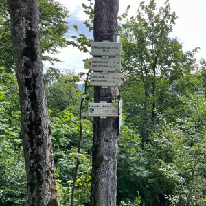
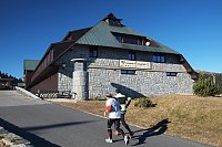
 Mala Moravka: Praděd - Horský hotel Volareza - Horská služba
 Mala Moravka: Praděd - Horský hotel Volareza
 Mala Moravka: Praděd - Horský hotel Volareza - Bílá Opava
 Mala Moravka: Praděd - Horský hotel Volareza - Petrovy kameny

| today | tomorrow | day after tomorrow | |
|---|---|---|---|
| Dawn: | 6:52 | 6:54 | 5:55 |
| Sunrise: | 7:25 | 7:27 | 6:29 |
| Sunset: | 17:44 | 17:42 | 16:40 |
| Dusk: | 18:17 | 18:15 | 17:13 |