
Hiking, 44 km
20.12.2025 to 21.12.2025
 Česko
Bruntál (Moravskoslezský kraj)
Logged on Vrcholovka 56x in total. Peak information here was completed by Petr Pepe Peloušek, Petr Mikeska a Jiří Králík.
Ostrý vrch is part of challenges: Koruna Sudet, Nejhory Moravskoslezska, Thousanders of the Czech Republic, Thousanders of the Jeseníky
The steep southern slopes are part of the Praděd National Nature Reserve. They drop into the deeply carved canyon of the Bílá Opava, along which runs the eponymous educational trail.
There is no chalet on the peak.
Peak is not stroller accessible.
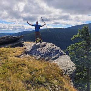
There are views from the peak.
There is no cable car to this peak.
No special equipment is required for this summit.
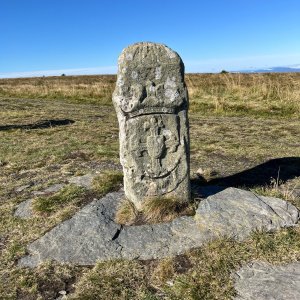
Accessible via a vegetative path on the border of the Praděd National Nature Reserve. According to Mapy.com, the summit rock is outside the reserve.
Nearest peaks: Prostřední vrch (1153 m, 0.7 km) Prostřední vrch SV (1131 m, 0.9 km) Sokolí skála (1169 m, 1.7 km) Lyra J2 (1085 m, 1.9 km) Sokol (1191 m, 1.9 km) Lyra J (1097 m, 2 km) Hradečná (1057 m, 2.3 km) Lyra (1103 m, 2.4 km) Lyra S (1086 m, 2.5 km) Nad kapličkou (855 m, 2.5 km) Temná (1263 m, 3.1 km) Kamzičí vrch (1173 m, 3.3 km)
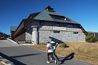
 Mala Moravka: Praděd - Horský hotel Volareza
 Mala Moravka: Praděd - Horský hotel Volareza - Bílá Opava
 Mala Moravka: Praděd - Horský hotel Volareza - Petrovy kameny
 Rejhotice: Sporthotel Kurzovní - Vysoké hole
 Rejhotice: Sporthotel Kurzovní - Přístup na běžeckou trať
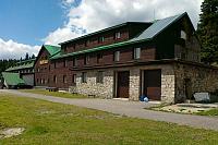
 Rejhotice: Sporthotel Kurzovní - Parkoviště a hlavní vchod
 Rejhotice: Sporthotel Kurzovní - Petrovy kameny
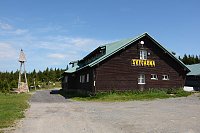
 Karlova Studánka: Sporthotel Kurznovní
 Karlova Studanka: Lyžařský vlek - Sjezdovka
 Mala Moravka: Kopřivná II
 Malá Morávka: Kopřivná Pradědem
 Mala Moravka: Kopřivná
 Mala Moravka: Kopřivná
 Mala Moravka

| today | tomorrow | day after tomorrow | |
|---|---|---|---|
| Dawn: | 6:54 | 5:55 | 5:57 |
| Sunrise: | 7:27 | 6:29 | 6:30 |
| Sunset: | 17:42 | 16:40 | 16:38 |
| Dusk: | 18:15 | 17:14 | 17:12 |