Jezerní slať (1060 m a.s.l., Šumava)



About peak Jezerní slať
 Česko
Logged on Vrcholovka 2x in total. Vrchol Jezerní slať was added here by Kris.
A peat bog and former natural monument in the Prachatice district. It is located in the Šumava region (Šumava Plains), less than two kilometers southeast of Horská Kvilda and 3 km from Kvilda, in the cadastral area of the village of Kvilda. It is part of the Šumava National Park, which is its first zone. The protection of this area was first declared in 1933, covering an area of 34 ha.
- Chalet/accommodation
-
There is no chalet on the peak.
- Stroller access
-
This peak is accessible with a stroller.
- Views
-
There are views from the peak.
- Cable car
-
There is no cable car to this peak.
- Equipment
-
No special equipment is required for this summit.
- Accessibility
-
Peak is freely accessible.
Nearest peaks: Lapka (1172 m, 1.9 km) Orel (1181 m, 1.9 km) Orel J (1177 m, 2.3 km) Tetřev (1260 m, 3.3 km) Orel JV (1117 m, 3.4 km)
Routes nearby
(elevation gain 700 m, 12 km)
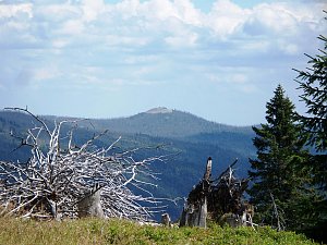 Výstup okruhem na Velký Roklan v německé části Šumavy
(elevation gain 1070 m, 17 km)
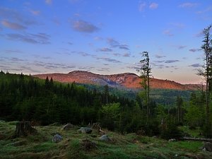 Zlatá stezka: malebnými hvozdy Šumavy, Českého a Bavorského lesa
(289 km)
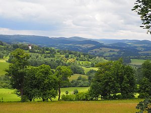 Přechod Šumavy přes nouzová tábořiště - na těžko se spaním v srdci národního parku
(elevation gain 2000 m, 100 km)
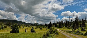
Webcams
(1049 m a.s.l., 2.2 km)
 Horská Kvilda
(1062 m a.s.l., 2.2 km)
 Horska Kvilda: Plzeňský kraj, Česko: Antýgl
(1071 m a.s.l., 2.3 km)
 Kvilda
( 2.4 km)
 Kvilda: I, POI 1
( 2.6 km)
 Kvilda: Horská
(1085 m a.s.l., 2.6 km)
 Kvilda
(1042 m a.s.l., 2.7 km)
 Kvilda: Obec - Chalupa Ve Stráni
( 3 km)
 Modrava: Filipova Huť, Šumava
( 3.9 km)
 Filipova Huť
(1101 m a.s.l., 3.9 km)
 Churánov: Churáňov, meterologická stanice
(1109 m a.s.l., 4.3 km)
 Stachy › North: Ski area Zadov
( 4.5 km)
 Churánov: Zadov, U hořejšů
(1037 m a.s.l., 4.8 km)
 Lesní Chalupy: Zadov − lyžařský areál
(939 m a.s.l., 5.1 km)
 Stachy: Zadov
( 5.1 km)
 Zadov
( 5.1 km)

Sun
| today | tomorrow | day after tomorrow | |
|---|---|---|---|
| Dawn: | 6:18 | 6:19 | 6:21 |
| Sunrise: | 6:51 | 6:53 | 6:54 |
| Sunset: | 16:47 | 16:45 | 16:43 |
| Dusk: | 17:20 | 17:18 | 17:17 |