
Hiking, 34 km
27.7.2026
 Česko
Prachatice (Jihočeský kraj)
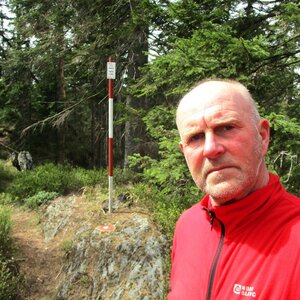
Logged on Vrcholovka 16x in total. Peak information here was completed by Bouřka a Martin Matějka.
Tetřev is part of challenges: Šumavské tisícovky, The Highest Peaks of South Bohemia, Thousanders of the Czech Republic
A prominent dome-shaped hill 2.5 km west of Kvilda. The highest point of the Modravské plains, an asymmetrical gneiss peak with a summit rock formation. The slopes feature debris flows and rock outcrops. Covered with spruce forest, with a mix of rowan on the rocks. On the northwestern slope, there is a clearing with a view of Filipova Huť, below is the I. zone of NP Tetřevská slať. The eastern slope up to an altitude of 1,150 m above sea level is protected in the I. zone of NP Prameniště nad Kvildou. At the summit of Tetřev, there is a geodetic point.
There is no chalet on the peak.
Peak is not stroller accessible.
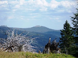
Partial views from the surrounding summit rocks (to the east) and very nice views from the clearing a short distance from the summit (to the north).
There is no cable car to this peak.
No special equipment is required for this summit.
Peak is freely accessible.
Nearest peaks: Lapka (1172 m, 1.8 km) Lovčí skála (1165 m, 1.8 km) Čertův vrch (1244 m, 1.9 km) Březová hora (1193 m, 2 km) Čertův vrch J (1239 m, 2.1 km) Holý vrch SZ (1173 m, 3 km) Jelení vrch (1177 m, 3.1 km)
 Kvilda: I, POI 1
 Kvilda
 Kvilda
 Kvilda: Obec - Chalupa Ve Stráni
 Kvilda: Jezerní potok (pohled směr Horská)
 Modrava: Filipova Huť, Šumava
 Filipova Huť
 Modrava
 Modrava › North-West
 Modrava › North: Plzeňský kraj, Česko
 Horská Kvilda
 Horska Kvilda: Plzeňský kraj, Česko: Antýgl

| today | tomorrow | day after tomorrow | |
|---|---|---|---|
| Dawn: | 7:07 | 6:09 | 6:10 |
| Sunrise: | 7:40 | 6:41 | 6:43 |
| Sunset: | 17:59 | 16:57 | 16:55 |
| Dusk: | 18:31 | 17:30 | 17:28 |