

Cycling, 12 km
9.5.2026
 Česko
Prachatice (Jihočeský kraj)
Logged on Vrcholovka 20x in total. Peak information here was completed by Martin Matějka, Vladimír Grančay, Bouřka a Daniel Ledl.
Orel is part of challenges: Šumavské tisícovky, The Highest Peaks of South Bohemia, Thousanders of the Czech Republic, Zvěřinec
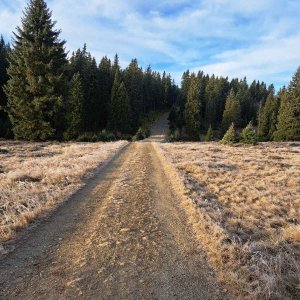
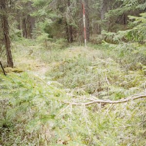
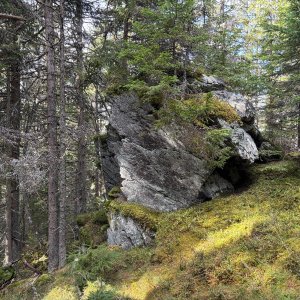
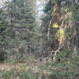
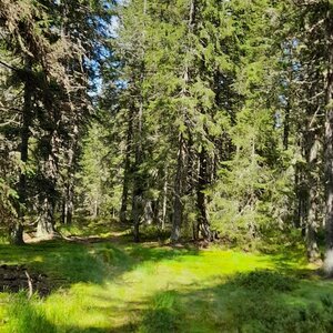
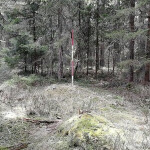
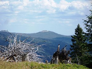
Flat ridge 1.5 km northeast of Kvilda. A north-south ridge between Kvildský stream and Olšinka. The northern peak is called Hůrka (1,158 m a.s.l.), from there an unmarked path leads to the summit (not even on mapy.cz). Covered with spruce forest. There is a geodetic point at the top. /tisicovky.cz/
There is no chalet on the peak.
Peak is not stroller accessible.
There are no views from the peak.
There is no cable car to this peak.
No special equipment is required for this summit.
Peak is freely accessible.
Nearest peaks: Orel J (1177 m, 0.4 km) Orel JV (1117 m, 1.5 km) Lapka (1172 m, 1.6 km) Helmet (1221 m, 2.4 km) Gabreta (1149 m, 3.1 km) Stanová hora (1160 m, 3.3 km)
 Kvilda
 Kvilda
 Kvilda: I, POI 1
 Kvilda: Horská
 Kvilda: Obec - Chalupa Ve Stráni
 Nové Hutě: Vlek U lesa
 Nove Hute › West
 Horská Kvilda
 Horska Kvilda: Plzeňský kraj, Česko: Antýgl
 Stachy › North: Ski area Zadov
 Churánov: Churáňov, meterologická stanice
 Stachy: Zadov
 Zadov
 Churánov: Zadov, U hořejšů
 Lesní Chalupy: Zadov − lyžařský areál

| today | tomorrow | day after tomorrow | |
|---|---|---|---|
| Dawn: | 7:04 | 7:06 | 7:07 |
| Sunrise: | 7:37 | 7:38 | 7:40 |
| Sunset: | 18:03 | 18:01 | 17:59 |
| Dusk: | 18:35 | 18:33 | 18:31 |