




Hiking
po, 19.8.2024, 14:30
 Itálie
Logged on Vrcholovka 1x in total. Vrchol Punta Bettolina was added here by Jiří Králík.
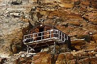
The summit is quite weathered. Access via the eastern ridge. UIAA-I and approach through scree. There is no hiking trail leading here.
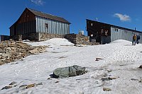
There is no chalet on the peak.
Peak is not stroller accessible.
There are views from the peak.
A little below the summit
No special equipment is required for this summit.
Peak is freely accessible.
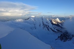 Výstup na Castor (4226 m) ze švýcarského Zermattu přes Rif. Lambronecca
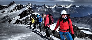 Největším alpským masivem Monte Rosa na Punta Dufour neboli Dufourspitze
 Výstup masivem Monte Rosy na Dufourspitze v Alpách
Výstup na čtyřtisícovku Castor od jihu z italského Grenne
Výstup na snadnou čtyřtisícovku Breithorn ve Walliských Alpách
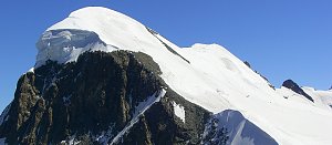 Výstup na čtyřtisícovku Signalkuppe ve švýcarských Alpách
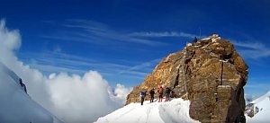 Vysokohorská túra hřebenovou perlou Wallisu - traverz Breithornu
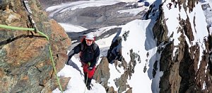 Pohodový trek pod nádherným Matterhornem
 Gressoney-La-Trinitè › East: moos-gabiet
 Gressoney-La-Trinitè › North-East: Monte Rosa
 Gressoney-La-Trinite › North-East
 Gressoney-La-Trinitè › South: Ristoro Sitten
 Gressoney-La-Trinite
 Gressoney-La-Trinite: Gressoney-La-Trinité, Monterosa - Sant Anna
 Ayas › East: resy
 Ayas: Champoluc, Monterosa - Crest, Val d
 Ayas: Findeln - Matterhorn Zermatt
 Ayas
 Champoluc-Champlan: Champoluc

| today | tomorrow | day after tomorrow | |
|---|---|---|---|
| Dawn: | 7:27 | 6:28 | 6:30 |
| Sunrise: | 7:57 | 6:59 | 7:00 |
| Sunset: | 18:28 | 17:26 | 17:24 |
| Dusk: | 18:58 | 17:57 | 17:55 |