Sidelhorn (2764 m a.s.l., Bernese Alps)
Register and log summit
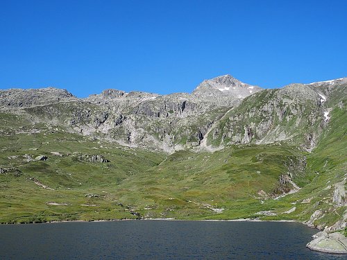

About peak Sidelhorn
 Švýcarsko
Vrchol Sidelhorn was added here by Milan "Hojší" Průžek.
Elevation: 600 m
Ascent time: Grimsel pass (2165m) - summit 1.5 hours
Risk: Bold sheep demanding toll for the cleared path
Ascent:
If you drive over Grimsel pass and feel like taking a look from above at the quite fascinating area where the Valais valley closes, you can hike up to Sidelhorn. The path leads from the saddle roughly westward, just follow the hiking signs. The trail mostly goes over stones and rubble. We encountered a herd of overly tame sheep of the "maxi alpine sheep easily butting" variety, which relieved us of our slices of bread. From the summit, you get a view of the unique surroundings, a sort of roof of Switzerland, from where deep valleys radiate in all directions, connected by passes at extraordinary altitudes (Grimsel 2165m, Furka 2431 m, Nufenen 2478 m, Susten 2224 m, Simplon 2006 m). I'm not a geographer, but it must be a very significant European watershed, as rivers such as the Rhône, Rhine, and those flowing into Italy originate in this area.
- Chalet/accommodation
-
There is no chalet on the peak.
- Stroller access
-
Peak is not stroller accessible.
- Views
-
There are views from the peak.
- Cable car
-
There is no cable car to this peak.
- Equipment
-
No special equipment is required for this summit.
- Accessibility
-
Peak is freely accessible.
Nearest peaks: Spittelnollen (1980 m, 2.7 km)
Routes nearby
Routes provided by SvetOutdooru.cz
Webcams
(2239 m a.s.l., 1.8 km)
 Obergoms › South-East: Grimselpass Hotel
(2160 m a.s.l., 2.2 km)
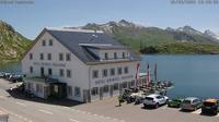 Guttannen: Hospiz
( 2.5 km)
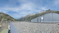 Guttannen: Berghaus Oberaar − Oberaarsee
(2629 m a.s.l., 2.7 km)
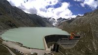 Guttannen: Oberaar
( 2.8 km)
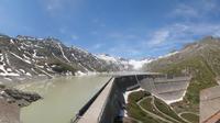 Grimsel Pass: Grimsel Hospiz, Grimselsee
(1908 m a.s.l., 3.1 km)
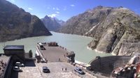 Obergoms
( 3.3 km)
 Oberwald
(1364 m a.s.l., 3.5 km)
 Obergoms: Oberwald
( 3.5 km)
 Gletsch: mit dem Bahnhof der Dampfbahn Furka-Bergstrecke
(1911 m a.s.l., 3.7 km)
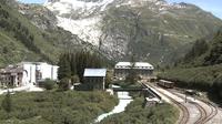 Obergesteln: Obergoms
(1381 m a.s.l., 4.5 km)
 Obergoms › West
( 4.8 km)
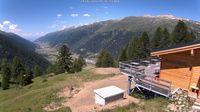 Ulrichen: Nordisches Zentrum Loipe Goms
(1343 m a.s.l., 5.8 km)
 Goms: Nordisches Zentrum Loipe Goms
( 5.8 km)
Sun
| today | tomorrow | day after tomorrow | |
|---|---|---|---|
| Dawn: | 6:28 | 6:30 | 6:31 |
| Sunrise: | 6:59 | 7:01 | 7:02 |
| Sunset: | 17:21 | 17:20 | 17:18 |
| Dusk: | 17:52 | 17:51 | 17:49 |