


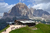
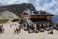



Via ferrata
st, 28.2.2024, 16:25
 Itálie
Logged on Vrcholovka 2x in total. Vrchol Punta Anna was added here by Sax and info was completed by Sax a Jan Blažej.
The Punta Anna via ferrata is a ridge route of difficulty C.
There is no chalet on the peak.
Peak is not stroller accessible.
There are views from the peak.
There is no cable car to this peak.
Via ferrata equipment
Peak is freely accessible.
Nearest peaks: Ra Bujela (2257 m, 0.8 km) Tofana di Mezzo (3244 m, 1.3 km) Tofana di Rozes (3225 m, 1.6 km) Tofana di Dentro (3238 m, 2 km) Cima Formenton (2830 m, 2.8 km)
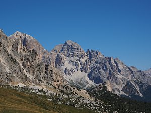 Trek válečnou stezkou Via Lagazuoi v Dolomitech
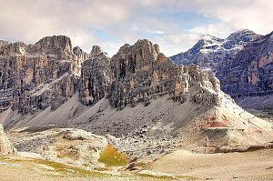 Přechod horského celku Fanes v Dolomitech
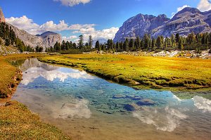 Výstup na dolomitský Croda del Becco
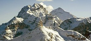
 Cortina d'Ampezzo: Pomedes
 Pocol: Tofana − Rifugio Dibona
 Pocol › South-West: Tofanaschuss: Pista Stratofana
 Cortina d'Ampezzo › West: Tofana-Schuss
 Cortina d'Ampezzo: Duca d'Aosta
 Pocol › East: Cortina d'Ampezzo − Faloria
 Cortina d'Ampezzo › West: Bus de Tofana
 Cortina d'Ampezzo: Cortina d’Ampezzo - Ra Valles, Cima Tofana
 Cortina d'Ampezzo: Cortina d’Ampezzo - Ra Valles, Croda da lago
 Cortina d'Ampezzo: Cortina d’Ampezzo - Ra Valles
 Cortina d'Ampezzo › South: Capanna Ra Valles 2470 m
 Cortina d'Ampezzo › North: Cortina d’Ampezzo - Venetien, Italien: Ravalles
 Cortina d'Ampezzo › North-west: Capanna Ra Valles 2470 m
 Cortina d'Ampezzo › West: Capanna Ra Valles 2470 m
 Pocol: Tofana die Rozes, Tofana die Mezzo
 Cortina d'Ampezzo: Cinque Torri
 Cortina d'Ampezzo: Cortina d’Ampezzo, 5 Torri
 Cortina d'Ampezzo › South-East
 Cortina d'Ampezzo: Centro Sportivo Antonella De Rigo
 Cortina d'Ampezzo: Col Gallina
 Colle Santa Lucia › North-West: Rifugio Averau
 Colle Santa Lucia › South
 Colle: Averau

| today | tomorrow | day after tomorrow | |
|---|---|---|---|
| Dawn: | 7:09 | 7:11 | 6:12 |
| Sunrise: | 7:40 | 7:41 | 6:43 |
| Sunset: | 18:11 | 18:09 | 17:08 |
| Dusk: | 18:42 | 18:40 | 17:39 |

