


Via ferrata, 10 km
6.7.2026
 Itálie
Logged on Vrcholovka 29x in total. Peak information here was completed by Honza, zrizenec, Martin Matějka a Jan Blažej.
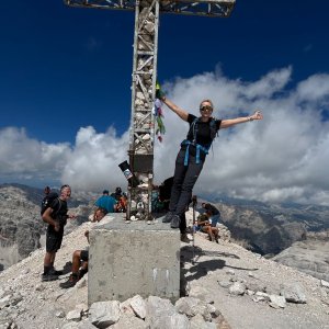
Rozes is probably the most picturesque of all three peaks. From the south, it presents its nearly 900-meter-high wall. From the Falzarego Pass, a trail leads to the Castelletto tunnel, which is 800 meters long and was built during World War I by Italian soldiers as a mine tunnel, used on July 11, 1916, to blow up the adjacent rock face known as Castelletto, which housed positions of the Austro-Hungarian army. A flashlight and via ferrata gear are required to pass through this tunnel. After the tunnel, you enter the Lipela via ferrata. This is traversed using chains, steel cables, and ladders, overcoming many narrow rocky ledges in the walls that are characteristic of the Tofana group. The final section to the summit is not secured. The difficulty of the secured route is C/D. Duration: Falzarego - Castelletto - Lipella - Tofana di Rozes (4 hours) - descent via the normal route to the Rif. Giusani hut and to the Falzarego Pass (3 hours).
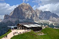
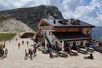
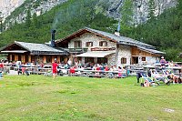
At the pass, there is the new Rifugio Guissani Hut, which I don't know the opening hours of. A bit lower is Rifugio Cantore, suitable for overnight stays (bunk beds in the attic) or shelter from the weather.
Peak is not stroller accessible.
There are views from the peak.
There is no cable car to this peak.
Special equipment is required for this summit.
Peak is freely accessible.
Nearest peaks: Il Casteletto (2656 m, 0.8 km) Punta Anna (2731 m, 1.6 km) Col dei Bos (2559 m, 1.9 km) Tofana di Mezzo (3244 m, 1.9 km) Ra Bujela (2257 m, 2.3 km) Cima Falzarego (2562 m, 2.4 km) Tofana di Dentro (3238 m, 2.5 km) Torre Grande di Falzarego (2482 m, 2.5 km) Torre Piccola di Falzarego (2418 m, 2.5 km) Torre Latina (2320 m, 3 km) Torre Grande (2361 m, 3.1 km) Cima Formenton (2830 m, 3.5 km) Monte Casale (2894 m, 3.5 km) Monte Ciaval (2911 m, 3.5 km)
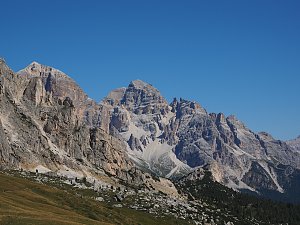 Trek válečnou stezkou Via Lagazuoi v Dolomitech
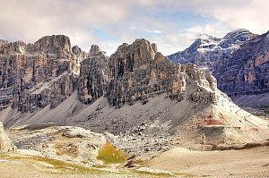 Přechod horského celku Fanes v Dolomitech
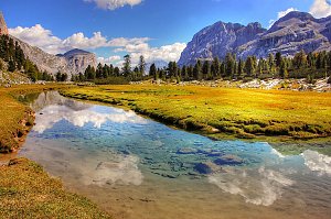 Výstup na Piza da les Diesc v Dolomitech
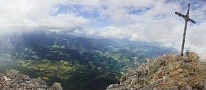
 Cortina d'Ampezzo: Pomedes
 Cortina d'Ampezzo
 Pocol › South-West: Tofanaschuss: Pista Stratofana
 Cortina d'Ampezzo › West: Tofana-Schuss
 Cortina d'Ampezzo: Duca d'Aosta
 Pocol › East: Cortina d'Ampezzo − Faloria
 Cortina d'Ampezzo › West: Bus de Tofana
 Cortina d'Ampezzo: Cortina d’Ampezzo - Ra Valles, Cima Tofana
 Cortina d'Ampezzo: Cortina d’Ampezzo - Ra Valles, Croda da lago
 Cortina d'Ampezzo: Cortina d’Ampezzo - Ra Valles
 Cortina d'Ampezzo › South: Capanna Ra Valles 2470 m
 Cortina d'Ampezzo: Cinque Torri
 Cortina d'Ampezzo: Cortina d’Ampezzo, 5 Torri
 Cortina d'Ampezzo › South-East
 Rifugio Lagazuoi › South-East: 2752m
 Cernadoi: Alta Badia − Pedraces
 Passo di Falzarego › East
 Cortina d'Ampezzo: Lagazuoi − Tofane
 Cortina d'Ampezzo: Col Gallina
 Cortina d'Ampezzo › West: Capanna Ra Valles 2470 m
 Cortina d'Ampezzo › North: Cortina d’Ampezzo - Venetien, Italien: Ravalles
 Cortina d'Ampezzo › North-west: Capanna Ra Valles 2470 m
 Colle Santa Lucia › North-West: Rifugio Averau
 Pocol: Tofana die Rozes, Tofana die Mezzo
 Colle: Averau
 Colle Santa Lucia › South

| today | tomorrow | day after tomorrow | |
|---|---|---|---|
| Dawn: | 6:19 | 6:20 | 6:22 |
| Sunrise: | 6:50 | 6:52 | 6:53 |
| Sunset: | 17:00 | 16:58 | 16:57 |
| Dusk: | 17:31 | 17:30 | 17:28 |