Hoher Zaun (3457 m a.s.l., Venediger)
Register and log summit


About peak Hoher Zaun
 Rakousko
Vrchol Hoher Zaun was added here by Milan "Hojší" Průžek.
https://cs.wikipedia.org/wiki/Hoher_Zaun
Hoher Zaun (3457 m a.s.l.) is a mountain in the Hohe Tauern range in Austria. It is located in the Venediger group within the federal state of Tyrol. It lies on the Hohes Gletscherdach ridge between the peaks of Schwarze Wand (3506 m) to the northwest and Stein am Ferner (3246 m) to the southeast. The northeastern slopes of the mountain are home to the Schlatenkees glacier, while the southwestern slopes feature the Inneres Mullwitzkees glacier and the Äußeres Mullwitzkees glacier to the south.
The first ascent to the summit was made on September 8, 1882, by brothers Emil and Otto Zsigmondy.
The easiest route to the summit leads from the Defreggerhaus hut (2963 m) over the Mullwitzaderl ridge and the Äußeres Mullwitzkees glacier.
- Chalet/accommodation
-
There is no chalet on the peak.
- Stroller access
-
Peak is not stroller accessible.
- Views
-
There are views from the peak.
- Cable car
-
There is no cable car to this peak.
- Equipment
- Accessibility
-
Peak is freely accessible.
Nearest peaks: Schwarze Wand (3503 m, 0.7 km) Rainerhorn (3560 m, 1.1 km) Mullwitzaderl (3244 m, 1.3 km) Kristallwand (3310 m, 1.8 km) Stein am Ferner (3246 m, 1.9 km) Hohes Aderl (3506 m, 2.1 km) Kleinvenediger (3470 m, 2.4 km) Innerer Kesselkopf (2897 m, 2.9 km) Weißspitze (3300 m, 2.9 km)
Routes nearby
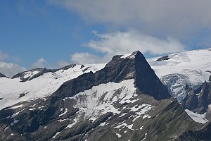 Výstup na vrchol Weisspitze
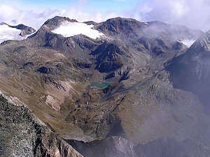 Výstup na Großvenediger přes Neue Prager Hütte
(elevation gain 2100 m, 20 km)
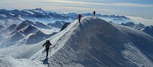 Výstup na Grossvenediger (3666 m) normálkou přes Defreggerhaus
(elevation gain 2500 m, 30 km)
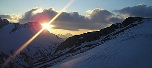 Adlerweg - Orlí stezka napříč Tyrolskem
(elevation gain 8000 m, 90 km)

Webcams
( 6.4 km)
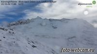 Marktgemeinde Neukirchen am Grossvenediger: Kürsingerhütte - Blick nach Süden zum Großen Geiger
(2523 m a.s.l., 6.4 km)
 Gemeinde Pragraten am Grossvenediger › North
(2207 m a.s.l., 7.9 km)
 Hinterbichl: Pragraten am Grossvenediger
(1340 m a.s.l., 9 km)
 Prägraten am Großvenediger: Hinterbichl
(1343 m a.s.l., 9.6 km)

Sun
| today | tomorrow | day after tomorrow | |
|---|---|---|---|
| Dawn: | 6:25 | 6:27 | 6:28 |
| Sunrise: | 6:57 | 6:59 | 7:00 |
| Sunset: | 16:50 | 16:48 | 16:47 |
| Dusk: | 17:22 | 17:20 | 17:19 |