Rainerhorn (3560 m a.s.l., Venediger)
Register and log summit


About peak Rainerhorn
 Rakousko
Vrchol Rainerhorn was added here by Milan "Hojší" Průžek and info was completed by Martin Matějka.
Rainerhorn is part of challenges: Austrian Alps, TOP 10 Austria
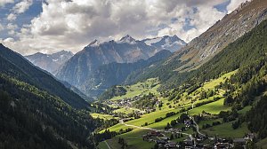
Rainerhorn is, according to literature, 3,560 m high, while the Austrian "Bundesamt für Eich- und Vermessungswesen" lists it as 3,559 m. It is located in the Hohe Tauern mountain range in the Eastern Alps of Tyrol and is the second highest peak of the Venedigergruppe after Großvenediger (3,666 m) and the tenth highest mountain in all of Austria. It is completely covered by the Hohes Gletscherdach glacier.
The summit of Rainerhorn was first ascended on August 10, 1859, by Austrian cartographers Franz Keil and Ignaz Wagle, who named the peak in honor of Archduke Rainer.
The first successful winter ascent was made in 1892 by Rudolf Spannangel.
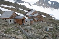
Rainerhorn can only be climbed as a high-altitude hike with appropriate equipment and knowledge of glaciers. The current normal route leads from the Rainertörl pass (3,416 m) over the glacier-covered western ridge to the summit. The Defreggerhaus mountain hut (2,963 m, west of the outer glacier Äußerer Mullwitzkees, usually open from late June to late September, with 30 beds, 60 mattresses, and 12 mattresses in the winter refuge) serves as a reference point.
- Chalet/accommodation
-
There is no chalet on the peak.
- Stroller access
-
Peak is not stroller accessible.
- Views
-
There are views from the peak.
- Cable car
-
There is no cable car to this peak.
- Equipment
-
Special equipment is required for this summit.
- Accessibility
-
Peak is freely accessible.
Nearest peaks: Schwarze Wand (3503 m, 0.5 km) Hohes Aderl (3506 m, 1 km) Hoher Zaun (3457 m, 1.1 km) Mullwitzaderl (3244 m, 1.2 km) Großvenediger (3666 m, 1.6 km) Kleinvenediger (3470 m, 1.8 km) Stein am Ferner (3246 m, 2.7 km) Innerer Kesselkopf (2897 m, 3.3 km) Weißspitze (3300 m, 3.6 km)
Routes nearby
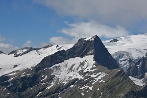 Výstup na Großvenediger přes Neue Prager Hütte
(elevation gain 2100 m, 20 km)
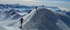 Výstup na vrchol Weisspitze
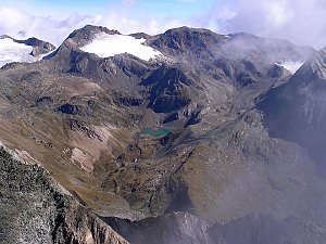 Výstup na Grossvenediger (3666 m) normálkou přes Defreggerhaus
(elevation gain 2500 m, 30 km)
 Adlerweg - Orlí stezka napříč Tyrolskem
(elevation gain 8000 m, 90 km)

Webcams
( 5.4 km)
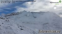 Marktgemeinde Neukirchen am Grossvenediger: Kürsingerhütte - Blick nach Süden zum Großen Geiger
(2523 m a.s.l., 5.4 km)
 Gemeinde Pragraten am Grossvenediger › North
(2207 m a.s.l., 7.2 km)
 Hinterbichl: Pragraten am Grossvenediger
(1340 m a.s.l., 9.2 km)
 Prägraten am Großvenediger: Hinterbichl
(1343 m a.s.l., 9.5 km)

Sun
| today | tomorrow | day after tomorrow | |
|---|---|---|---|
| Dawn: | 6:13 | 6:14 | 6:16 |
| Sunrise: | 6:44 | 6:46 | 6:47 |
| Sunset: | 17:04 | 17:02 | 17:01 |
| Dusk: | 17:35 | 17:34 | 17:32 |