

Hiking, 27 km
28.10.2024
 Polsko
Logged on Vrcholovka 5x in total. Vrchol Siodłowa Turnia was added here by Vujťula and info was completed by Martin Matějka a Rastislav Biarinec.
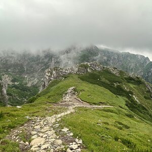
Siodłowa Turnia - a rock formation rising in the upper part of the Mała Łąka valley in the Western Tatras, south of the summit of Mały Giewont. It is separated from it by the Siodło saddle. It forms a short, narrow ridge with a prominent peak, rising to an elevation of 1,647 m above sea level. It creates a high cliff, about 150 m, above the Głazisty Żleb. Siodłowa Turnia, along with the peaks of Mały Giewont and Wielka Turnia, creates a panorama of summits towering over the Great Glade in the Mała Łąka valley.
It was previously known as Turnia Siadła or Turnia Spiczasta. It is composed of white limestones from the Lower Cretaceous period. On its northern slopes, there are several caves. The most famous are Nyża in Siodłowa Turnia and the Sleeping Knights Caves, Wyżnia and the Sleeping Knights Cave, located in the Żleb of the Sleeping Knights. The names of the caves are related to the legend of knights sleeping under the Tatras, who will awaken when Poland needs them.
There is no chalet on the peak.
Peak is not stroller accessible.
There are views from the peak.
There is no cable car to this peak.
No special equipment is required for this summit.
Peak is freely accessible.
Nearest peaks: Biała Giewoncka Baszta (1728 m, 0.2 km) Zadnia Giewoncka Baszta (1735 m, 0.2 km) Mały Giewont (1728 m, 0.3 km) Kondracka Kopka (1776 m, 0.5 km) Wielki Giewont (1894 m, 0.6 km) Długi Giewont (1867 m, 1.1 km) Kondratova kopa (2005 m, 1.4 km) Malolučniak / Małołączniak (2105 m, 1.5 km) Ratusz Litworowy (1670 m, 1.6 km) Kobylarz (1430 m, 1.7 km) Łysanki (1446 m, 1.7 km) Suchá Kopa (1893 m, 2 km) Sarnia Skała (1377 m, 2.1 km) Kresanica (2122 m, 2.3 km) Mała Sucha Czuba Kondracka (1832 m, 2.4 km) Igla (1207 m, 2.5 km) Pośrednia Sucha Czuba Kondracka (1844 m, 2.5 km) Twarda Kopa (2026 m, 2.5 km) Temniak / Ciemniak (2090 m, 2.6 km) Wysoka Sucha Czuba Kondracka (1876 m, 2.7 km) Głazista Czubka (1982 m, 2.9 km) Tomanowe Stoły (1956 m, 3 km) Stoly (1947 m, 3.1 km)
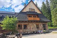
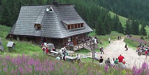
 Výstup ke schronisku na Hali Ornak v Západních Tatrách
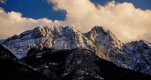
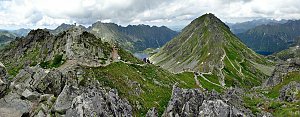 Výstup k chatě Hala Kondratowa a dále na Wielki Giewont ve Vysokých Tatrách
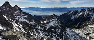
 Výstup na Kościelec a Swinicu v polské části Vysokých Tater
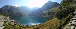
 Túra ke schronisku/chatě na Polanie Chochołowskiej v Západních Tatrách
 Trek Dolinou Suchej Wody Gasienicowej v polské části Vysokých Tater
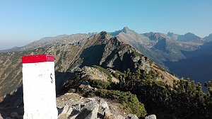
 Trek v polských Tatrách - po Červených vrších s výstupem na Svinici
 Orla Perc (Orlí stezka) v polských Vysokých Tatrách
 Zakopane: Kasprowy - Panorama
 Zakopane: Kasprowy - Hala Gąsienicowa
 Kuźnice: Kasprowy Wierch Dolina Gąsienicowa. System monitoringu pogody TOPR
 Zakopane: Gubalowki
 Zakopane: Giewont − Widok na Tatry
 Szymaszkowa: Polana Szymoszkowa
 Kościelisko: Czerwone Wierchy i Giewont
 Zakopane: Rzeczpospolita
 Kasprowy Wierch
 Zakopane › South-East

| today | tomorrow | day after tomorrow | |
|---|---|---|---|
| Dawn: | 5:50 | 5:51 | 5:53 |
| Sunrise: | 6:23 | 6:24 | 6:26 |
| Sunset: | 16:24 | 16:23 | 16:21 |
| Dusk: | 16:57 | 16:56 | 16:54 |