


Hiking, 21 km
26.9.2026 to 19.9.2026
Polsko Slovensko
Logged on Vrcholovka 36x in total. Vrchol Malolučniak / Małołączniak was added here by Petr Pepe Peloušek and info was completed by Petr Pepe Peloušek, Alexandr Starý a Martin Matějka.
Malolučniak / Małołączniak is part of challenges: TATRANSKÉ 2000 PO ZNAČCE, Tatranský turista, The Highest Peaks of the Western Tatras
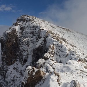
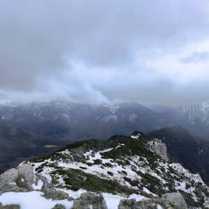
Malolučniak (in Polish Małołączniak, 2105 m a.s.l.) is a mountain in the Western Tatras in the Červené vrchy group on the Slovak-Polish border. It is located in the main ridge between the peaks of Kondratova kopa (2005 m), which is separated by the Malolučniacké saddle (1924 m), and Kresanica (2122 m), which is separated by the Litvorové saddle (2037 m). The southern slopes descend into the Javorový žľab, which flows into the Tomanovská dolina. To the northwest, a ridge called Czerwony Grzbiet extends from the mountain, separating Dolina Małej Łąki and Dolina Miętusia. Malolučniak is primarily composed of limestone and dolomites, with crystalline schists occasionally surfacing. The summit area is covered with low grasses, predominantly the three-flowered rush (Oreochloa disticha) and hairy rush (Juncus trifidus). The rare plant Trollius altissimus can also be found in the Tatras. The slopes of the mountain also contain many caves, such as the Great Snow Cave (the longest and deepest Polish cave), Snow Well Cave, and Gray Church Cave. (source: Wikipedia)
There is no chalet on the peak.
Peak is not stroller accessible.
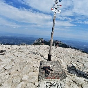
There are views from the peak.
There is no cable car to this peak.
Good trekking shoes
Peak is freely accessible.
Nearest peaks: Kresanica (2122 m, 0.8 km) Kondratova kopa (2005 m, 1 km) Ratusz Litworowy (1670 m, 1.2 km) Temniak / Ciemniak (2090 m, 1.3 km) Głazista Czubka (1982 m, 1.4 km) Twarda Kopa (2026 m, 1.4 km) Siodłowa Turnia (1647 m, 1.5 km) Kobylarz (1430 m, 1.6 km) Stoly (1947 m, 1.6 km) Suchá Kopa (1893 m, 1.6 km) Tomanowe Stoły (1956 m, 1.6 km) Kondracka Kopka (1776 m, 1.7 km) Zadnia Giewoncka Baszta (1735 m, 1.7 km) Biała Giewoncka Baszta (1728 m, 1.8 km) Chuda Turnia (1858 m, 1.8 km) Mały Giewont (1728 m, 1.8 km) Wielki Giewont (1894 m, 2 km) Mała Sucha Czuba Kondracka (1832 m, 2.1 km) Upłaziańska Kopa (1796 m, 2.2 km) Liptovská Tomanová (1839 m, 2.3 km) Długi Giewont (1867 m, 2.4 km) Suchý vrch (1860 m, 2.5 km) Poľská Tomanová (1977 m, 2.8 km) Łysanki (1446 m, 2.9 km) Tomanowa Kopa (1892 m, 3.1 km) Sarnia Skała (1377 m, 3.6 km)
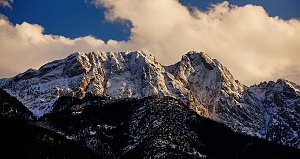 Výstup ke schronisku na Hali Ornak v Západních Tatrách
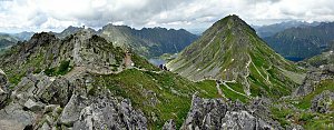 Výstup k chatě Hala Kondratowa a dále na Wielki Giewont ve Vysokých Tatrách
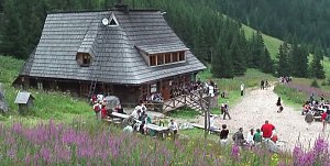 Túra ke schronisku/chatě na Polanie Chochołowskiej v Západních Tatrách
 Výstup na Kościelec a Swinicu v polské části Vysokých Tater
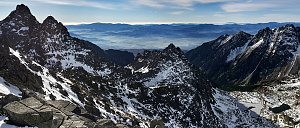 Trek Dolinou Suchej Wody Gasienicowej v polské části Vysokých Tater
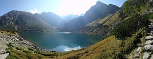 Trek v polských Tatrách - po Červených vrších s výstupem na Svinici
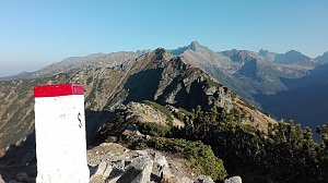 Orla Perc (Orlí stezka) v polských Vysokých Tatrách
| today | tomorrow | day after tomorrow | |
|---|---|---|---|
| Dawn: | 6:05 | 6:06 | 6:08 |
| Sunrise: | 6:39 | 6:40 | 6:42 |
| Sunset: | 16:08 | 16:07 | 16:05 |
| Dusk: | 16:42 | 16:41 | 16:40 |