




Hiking
pá, 20.9.2024, 16:15
 Německo
Logged on Vrcholovka 3x in total. Vrchol Hochsätter was added here by Bouřka and info was completed by Krtek.
Rock formations, on the highest one is a concrete geodetic marker, views among the trees.
There is no chalet on the peak.
Peak is not stroller accessible.
There are no views from the peak.
There is no cable car to this peak.
No special equipment is required for this summit.
Peak is freely accessible.
Nearest peaks: Hochsätter SZ (1084 m, 0.1 km) Hörndl J (1015 m, 0.6 km) Hörndl (1024 m, 0.7 km) Kleiner Arber S (1028 m, 0.7 km) Schneiderberg (1015 m, 0.9 km) Sphinx (974 m, 0.9 km) Bärenriegel (1078 m, 1 km) Enzian (1287 m, 1.5 km) Heugstatt JV (1227 m, 1.6 km) Reischfleck (1148 m, 1.6 km) Reischfleck SZ (1146 m, 1.7 km) Heugstatt (1262 m, 1.8 km) Sphinx S (865 m, 1.8 km) Spitzberg (1058 m, 1.8 km) Schwarzeck JV (1224 m, 1.9 km) Sollerberg (886 m, 2 km) Schwarzeck (1235 m, 2.1 km) Sollerberg S (875 m, 2.1 km) Schwarzeck SZ (1233 m, 2.2 km) Hochstein (1134 m, 2.4 km) Schobereck (1223 m, 2.4 km) Hochstein J (1078 m, 2.5 km) Kleiner Arber (1384 m, 3 km) Schobereck J (1125 m, 3 km)
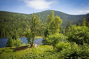 Přechod 12 tisícovek v Bavorském lese
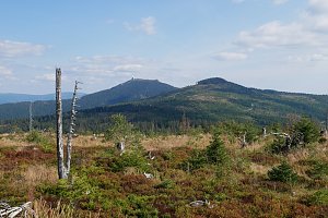 Výstup na šumavský Zwercheck, chceteli Svaroh
 Výstup z Německa na Grosser Osser neboli Velký Ostrý na Šumavě
 Bayerisch Eisenstein: Berghaus Sonnenfels - Großer Arber- Blick nach Nordwesten
 Bayerisch Eisenstein › North-east: Großer Arber - Arber-Stadl
 Brennes › South-West: Grosser Arber Talstation
 Bayerisch Eisenstein › East
 Grosser Arber: Bodenmais Tourism & Marketing GmbH − Silberberg − Naturpark Bayerischer Wald e.V. − Czechia
 Bayerisch Eisenstein: Steinberglift - Bayerischen Wald
 Drachselsried: *s Hotel Lindenwirt - Blick ins Zellertal

| today | tomorrow | day after tomorrow | |
|---|---|---|---|
| Dawn: | 7:09 | 6:11 | 6:12 |
| Sunrise: | 7:42 | 6:44 | 6:45 |
| Sunset: | 18:01 | 16:59 | 16:57 |
| Dusk: | 18:33 | 17:31 | 17:30 |



