



Hiking, 18 km
22.8.2024
 Itálie
Logged on Vrcholovka 15x in total. Peak information here was completed by Milan "Hojší" Průžek.
Hochfeiler is part of challenges: Austrian Alps, TOP 10 Austria
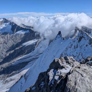
Gran Pilastro, a mountain on the Austria-Italy border, about 22 km northwest of the town of Bruneck and 18 km southwest of the village of Mayrhofen. The Austrian part lies in the federal state of Tyrol, while the Italian part is in the Trentino-Alto Adige region (province of South Tyrol). The northern slopes are home to the Schlegeiskees glacier, the southern slopes feature the Gliderferner glacier, and the western slopes have the Weißkarferner glacier.
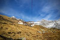
The first ascent was made on July 24, 1865, by Paul Grohmann, Georg Samer, and Peter Fuchs. Hochfeiler is the highest peak of the Zillertal Alps. The summit can be most easily reached via marked hiking trails 1A or 1B from the Hochfeilerhütte hut (2710 m above sea level). Difficulty II/A-17.I-B.
There is a chalet on the peak.
Peak is not stroller accessible.
There are views from the peak.
There is no cable car to this peak.
Special equipment is required for this summit.
Peak is freely accessible.
Nearest peaks: Hochfeiler Z3 (3283 m, 0.6 km) Griesferner (3398 m, 0.7 km) Hochfeiler Z2 (2264 m, 0.7 km) Hochfeiler Z1 (3260 m, 0.8 km) Hochferner (3470 m, 1 km) Hoher Weißzint - Punta Bianca (3371 m, 1.6 km) Haupenhöhe (3041 m, 2.6 km) Hochsteller (3098 m, 3 km)
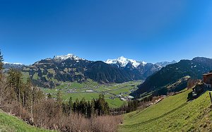
 Výstup na Schönbichlerhorn
 Přes Zillertálské Alpy po Berliner Höhenweg
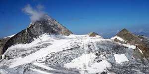
 Výšlap na vrchol Olperer ze všech stran
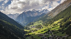
 Vícedenní okruh v Tyrolsku
| today | tomorrow | day after tomorrow | |
|---|---|---|---|
| Dawn: | 7:12 | 6:14 | 6:15 |
| Sunrise: | 7:43 | 6:45 | 6:46 |
| Sunset: | 18:10 | 17:08 | 17:07 |
| Dusk: | 18:41 | 17:40 | 17:38 |