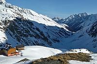

Hiking, 22 km
12.7.2026
 Rakousko
Logged on Vrcholovka 41x in total. Peak information here was completed by Martin Matějka a Milan "Hojší" Průžek.
Wildspitze is part of challenges: Austrian Alps, TOP 10 Austria, Ultraprominent Europe, Ultraprominentní Rakousko
The second highest mountain in Austria and one of the most popular destinations in the Ötztal Alps.
The usual ascents start from Vent or the Pitztal ski resort. From Vent, the route ascends via Bresslauer Hütte to the Mitterkarjoch saddle, across the Taschachferner glacier, and finally along the western rocky ridge. From the Pitztal ski resort, the ascent goes to the Mittelberg Joch saddle, then across the Taschachferner glacier, and finally up the northwestern snow ridge. A two-day hike from the Pitztal valley to the Taschachhaus hut is common, with the summit reached on the second day.
Wildspitze has attracted attention since ancient times. The first serious attempt to climb this mountain dates back to 1847. The famous Schlagintweit brothers, who had crossed the Himalayas and Karakoram in the service of the Prussian king two years earlier, were unsuccessful in their ascent. It was achieved a year later by a farmer from Roffenhof, L. Klotz, and his friend (whose name has not been preserved).
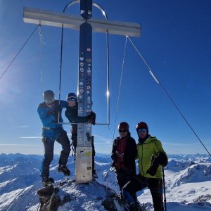
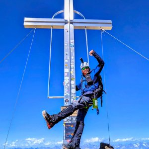
There is a chalet on the peak.
Peak is not stroller accessible.
There are views from the peak.
There is no cable car to this peak.
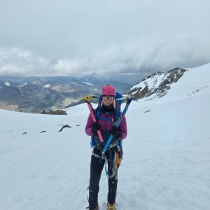
Special equipment is required for this summit.
Peak is freely accessible.
Nearest peaks: Wildspitze (Nordgipfel) (3765 m, 0.2 km) Kreuzerschneide (3677 m, 0.5 km) Hinterer Brochkogel (3635 m, 1.3 km) Urkundkolm (3134 m, 1.4 km) Schluchtkogel (3472 m, 1.5 km) Vorderer Brochkogel (3565 m, 1.7 km) Wildes Mannle (3019 m, 2.4 km) Hinterer Brunnenkogel (3440 m, 3.1 km)
 Nekonečné roviny Oetztálských Alp na sněžnicích či skialpech
 Přechod Mainzer Höhenweg
 Gemeinde St. Leonhard im Pitztal
 Vent: Venter Seibahn
 Vent: Webcam − Blick auf
 Gemeinde Solden: Blick auf Vent
 Gemeinde St. Leonhard im Pitztal: Sölden - Tiefenbachkogl
 Seiten: Gaislach mittelstation − Sölden − Ötztal Arena
 Seiten: Tiefenbach − Sölden − Ötztal Arena
 Rettenbach: Sölden − Ötztal Arena
 Seitenstetten: Giggijoch - Sölden - Ötztal Arena
 Seitenstetten: Tiefenbach - Sölden - Ötztal Arena
 Seitenstetten: Tiefenbach - Sölden - Ötztal Arena
 Seitenstetten: Tiefenbach - Sölden - Ötztal Arena
 Seitenstetten: Tiefenbach - Sölden - Ötztal Arena
 Gemeinde St. Leonhard im Pitztal: Braunschweiger Hütte - Blick zum Mittelbergferner und zur Wildspitze
 Gemeinde Solden: Sölden, Ötztal - Schwarze Schneid Mittelstation

| today | tomorrow | day after tomorrow | |
|---|---|---|---|
| Dawn: | 7:13 | 7:14 | 7:16 |
| Sunrise: | 7:44 | 7:45 | 7:47 |
| Sunset: | 18:17 | 18:15 | 18:14 |
| Dusk: | 18:48 | 18:46 | 18:45 |