
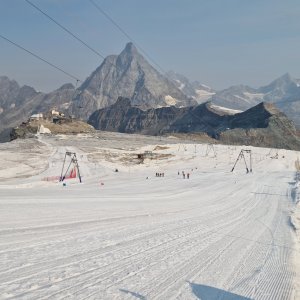

Climbing, 12 km
11.8.2026
 Itálie
 Švýcarsko
Logged on Vrcholovka 50x in total. Peak information here was completed by Horalka Anička, Milan "Hojší" Průžek a Martin Horáček.
Breithorn Occidentale / West is part of challenges: 39 quattromila italiani, 48 Swiss 4000ers, Alpine Four-thousanders
CH/IT
Difficulty I/B-09.III-A
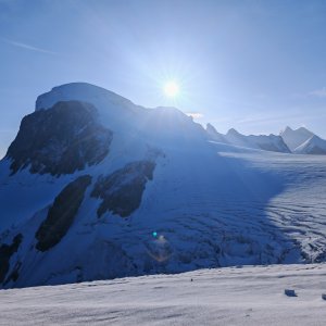
Breithorn is known as the easiest alpine four-thousander. A cable car leads to Klein Matterhorn, and from there, the main summit is essentially just an ascent along a "slope." Of course, this is in thin air. Nevertheless, it is still suitable for beginners even without a guide. As a result, during the season, entire tourist processions make their way to the summit. The first ascent took place in 1813, making it one of the first four-thousanders.
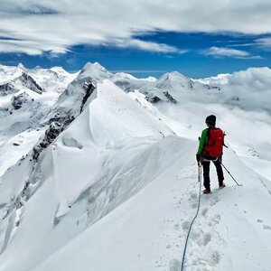
Many awestruck aspirants of four-thousanders return here after years as experienced climbers, paying homage to the entire Breithorn massif by crossing the ridge: from Roccia Nera (4,075 m) over a snowy ridge with many overhangs to the eastern Breithornzwillinge (4,106 m), from there through a combination of rocky and firn terrain to Breithorn Ost (4,141 m), before descending into the next depression. They then continue up perfect rock through three steps to the middle summit (4,160 m), from where it is just a short distance to the often-visited western and simultaneously main summit (4,165 m). A long, combined high-altitude hike that offers everything to quicken a climber's heart: sharp firn edges with distinct overhangs, exciting climbing passages, and exposed descents – all set against a breathtaking backdrop. The first ascent of this route was made in 1884. The group was led by Ulrich Almer from Grindelwald, who, together with Michel Auguste Croz, managed to make several outstanding first ascents on difficult four-thousanders before Croz tragically perished on Matterhorn.
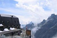
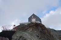
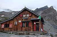
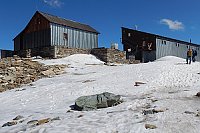
There is no chalet on the peak.
Peak is not stroller accessible.
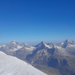
There are views from the peak.
Yes or No? The cable car does not lead directly to the summit, but the cable car to Klein Matterhorn (3,883 m) is less than 3 km away with an elevation gain of about 350 m.
glacier ascent
Peak is freely accessible.
Nearest peaks: Breithorn Centrale / Mittelgipfel (4159 m, 0.7 km) Westlicher Breithornzwilling (4139 m, 0.9 km) Klein Matterhorn (3883 m, 1.4 km) Breithorn Orientale / East (4139 m, 1.6 km) Breithorn Zwilling (4106 m, 1.8 km) Gobba di Rollin (3899 m, 2.1 km) Breithorn - Roccia Nera (4075 m, 2.3 km)
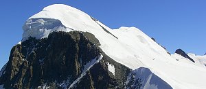 Výstup na Castor (4226 m) ze švýcarského Zermattu přes Rif. Lambronecca
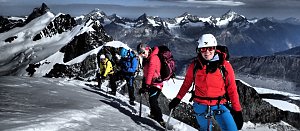 Pohodový trek pod nádherným Matterhornem
 Vysokohorská túra hřebenovou perlou Wallisu - traverz Breithornu
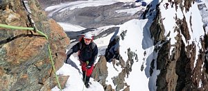 Výstupy na Gran Somettu a Motta di Pleté v Itálii
Výstup na jeden z nejkrásnějších vrcholů Alp - Matterhorn
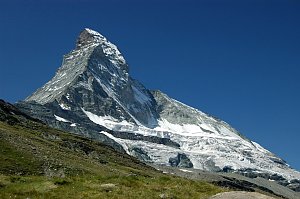 Výstup na čtyřtisícovku Castor od jihu z italského Grenne
Výstup na trojku Grand Tournalin nedaleko Matterhornu
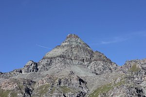 Výstup na čtvrtý nejvyšší vrchol Alp – Lyskamm
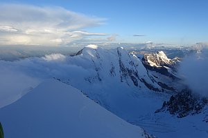
 Ayas: Findeln - Matterhorn Zermatt
 Breuil-Cervinia: Plateau Rosa panomax-hd
 Blatten: Zermatt, Trockener Steg
 Breuil-Cervinia: Cime Bianche Laghi
 Breuil-Cervinia: Seggiovia Goillet, Cervino/Matterhorn
 Zermatt
 Zermatt: Gornergrat MGB
 Zermatt: Matterhorn (Riffelberg)
 Zermatt › South-West: Unteren Riffelalp, Matterhorn
 Zermatt: Aroleid
 Zermatt

| today | tomorrow | day after tomorrow | |
|---|---|---|---|
| Dawn: | 6:35 | 6:37 | 6:38 |
| Sunrise: | 7:06 | 7:08 | 7:09 |
| Sunset: | 17:18 | 17:17 | 17:15 |
| Dusk: | 17:49 | 17:48 | 17:46 |