




Hiking, 14 km
10.8.2024
 Itálie
Logged on Vrcholovka 4x in total. Spočinek Forcella di Giau was added here by Ivetast.
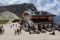
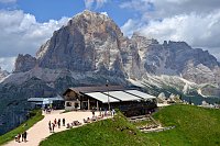
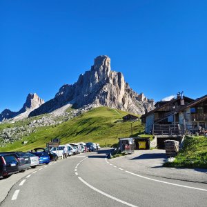
The pass above Passo di Giau, Forcella di Giau is the gateway to the Mondeval plateau. The significance of Mondeval is linked to a prehistoric archaeological site. In 1987, the skeleton of a Mesolithic hunter, who lived 7,500 years ago, was discovered here. To this day, it is the only known Mesolithic burial site found at a high altitude (about 2,150 m). Also noteworthy is the exceptional preservation of the burial equipment placed around the skeleton, with organic finds (especially remnants of flour and resin with propolis), which greatly expanded paleontological knowledge.
Today, the skeleton of the Mesolithic hunter is housed in a new museum in Selva di Cadore, while in San Vito di Cadore, you can admire a cast identical to the original, provided by Prof. Guerreschi for an exhibition on the testimonies left by archaeology in the San Vito area.
There is no chalet on the peak.
Peak is not stroller accessible.
There are views from the peak.
There is no cable car to this peak.
No special equipment is required for this summit.
Peak is freely accessible.
Nearest peaks: Ponta Lastoi de Formin (2657 m, 0.4 km) Cima Loschiesuoi (2626 m, 1 km) Col Piombin (2313 m, 1.1 km) Monte Cernera Cima Nord SV (2662 m, 1.2 km) Monte Cernera Cima Nord (2664 m, 1.4 km) Punta di Zonia V (2244 m, 1.5 km) Monte Mondeval (2455 m, 1.6 km) Monte Verdal SV (2485 m, 1.8 km) Cima Ambrizzola (2715 m, 1.9 km) Punta di Zonia (2282 m, 1.9 km) Monte Verdal (2491 m, 2 km) Ra Gusela (2595 m, 2.7 km) Nuvolau JV (2529 m, 3.2 km) Nuvolau (2575 m, 3.4 km)
 Výstup na třítisícovku Tofana di Rozes se psem
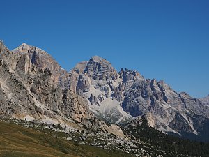 Trek válečnou stezkou Via Lagazuoi v Dolomitech
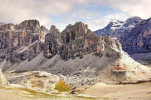
 Selva di Cadore: Villaggio di L'Andria a Santa Fosca − BL
 Selva di Cadore: Santa Fosca
 Selva di Cadore: Bar Bianco di Gioacchino a S. Fosca (BL)
 Colle: Averau
 Selva di Cadore › South: Seggiovie Fertazza – Cima Fertazza
 Colle Santa Lucia › North-West: Rifugio Averau
 Cortina d'Ampezzo: Cinque Torri
 Cortina d'Ampezzo: Cortina d’Ampezzo, 5 Torri
 Borca di Cadore › East: Rifugio Città di Fiume
 Malga Fiorentina: Monte Civetta
 Alleghe: Fertazza
 Alleghe: Selva di Cadore - Pescul
 Selva di Cadore
 Pocol: Tofana die Rozes, Tofana die Mezzo
 Alleghe: Col dei Baldi
 Cortina d'Ampezzo: Col Gallina
 Pocol: Tofana − Rifugio Dibona
 Cortina d'Ampezzo › South-East

| today | tomorrow | day after tomorrow | |
|---|---|---|---|
| Dawn: | 6:19 | 6:20 | 6:21 |
| Sunrise: | 6:50 | 6:51 | 6:53 |
| Sunset: | 17:00 | 16:58 | 16:57 |
| Dusk: | 17:31 | 17:30 | 17:28 |







