


Hiking, 22 km
17.10.2026
 Česko
Frýdek-Místek (Moravskoslezský kraj)
Logged on Vrcholovka 12709x in total. Peak information here was completed by Pája, Alexandr Starý a Martin Matějka.
Lysá hora is part of challenges: Cross on the Summit of Domestic Mountains and Hills, Crown of Regions and Districts, Crown of the Border Mountains, Crown of the Carpathians, Crown of the Moravian-Silesian Beskids, Czech Crown, Geological Crown of the Czech Republic, Highest Peaks of the Moravian-Silesian Beskids, Lysá hora 2026, Most Isolated, Nejhory Moravskoslezska, Stamp Peaks, The Highest Peaks of Visegrád, The Most Prominent Mountains of the Czech Republic, Thousanders of the Czech Republic, Ultrapeaks, Via Czechia Severní stezka
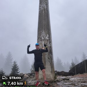
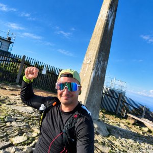
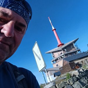
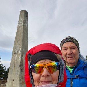
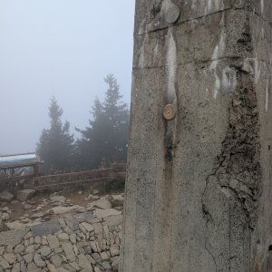
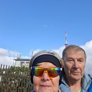
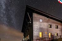
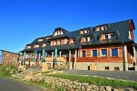
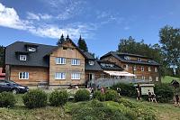
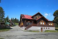
Lysá hora (1324 m a.s.l.) is the highest peak of the Moravian-Silesian Beskids and the third most prominent Czech mountain. At the bare (bald) summit stands a characteristic telecommunications transmitter, a meteorological station, and several mountain huts.
Most popular hiking routes:
At the summit, there are several huts:
Bezručova chata
Chata Emil Zátopek - Maraton
Chata Desítka - Kameňák
For example, from Papežov along the asphalt road, from Krásná along the bike path, from Malenovice via the blue trail over Ivančena or from Satiny around the Riding Hall and from the crossroads above Veličky along the bike path to Ivančena, etc.
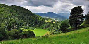
The views from the summit are in all directions.
There is no cable car to this peak.
No special equipment is needed, just in winter, due to packed snow and ice, hiking poles and crampons are recommended.
Peak is freely accessible.
Nearest peaks: Malchor (1220 m, 1 km) Kobylanka (1059 m, 1.4 km) Zimný (1081 m, 1.9 km) Pod Lukšincem (870 m, 2.3 km) Čupel (944 m, 2.9 km) Řehucí (872 m, 3 km) Kykulka (996 m, 3.2 km)
 Lysá hora, JZ směr
 Lysá hora, SZ směr
 Ostravice
 Malenovice: Ski - Sjezdovka Staromák
 Krasna › North-East
 Staré Hamry › West: Ski Park Gruň
 Dům sv. Josefa

| today | tomorrow | day after tomorrow | |
|---|---|---|---|
| Dawn: | 6:49 | 5:50 | 5:52 |
| Sunrise: | 7:21 | 6:23 | 6:25 |
| Sunset: | 17:39 | 16:37 | 16:35 |
| Dusk: | 18:11 | 17:10 | 17:08 |