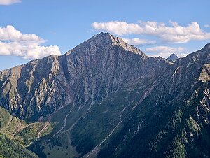
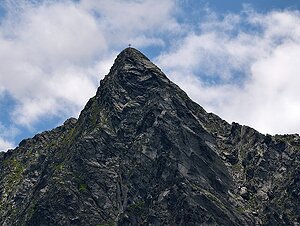
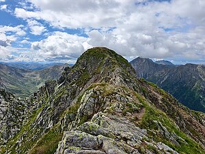
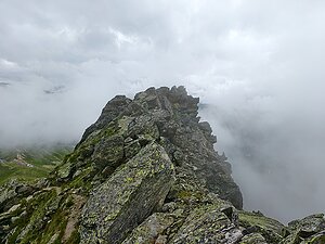
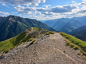
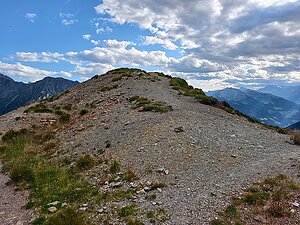
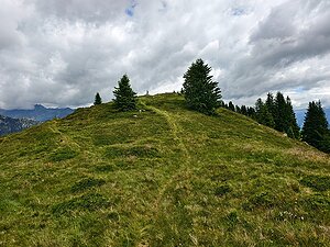
Sarntalské Alpy

Export peaks

Export generates a GPX file with peaks that can be uploaded to GPS navigation or phone app.

Plan route

Click a peak or chalet and then "Add to planning" to add route points. You can also add points by right-clicking on the map.
After page reload, route planning is lost.

    Chalets

    Filters only chalets where this feature is filled in.

    By summit history

    Legend

    Green points are visited peaks, red points are not visited.
    PeakPeaks with prominence 15 m and more
    Secondary peakPeaks with prominence 5-15 m
    Point of interestSignificant point with minimum prominence created for challenge purposes
    Rest pointElevation point with prominence below 5 m
    UnclassifiedPeaks waiting for classification
    ChaletMountain chalet

    Challenges

    Peaks


    Filters only peaks where this feature is filled in.
    m
    m
    m
    m
    m
    m
    Not all peaks have listed isolation.
    Name Elevation
    Hirzer - Punta Cervina Hirzer - Punta Cervina 2781 m a.s.l.
    Alplerspitz - Punta Alpetta Alplerspitz - Punta Alpetta 2750 m a.s.l.
    Hochwart - Guardia Alta Hochwart - Guardia Alta 2748 m a.s.l.
    Jakobspitz - Cima San Giacomo Jakobspitz - Cima San Giacomo 2737 m a.s.l.
    Unterberg - Monte di Sotto Unterberg - Monte di Sotto 2712 m a.s.l.
    Tagewaldhorn - Corno di Tramin Tagewaldhorn - Corno di Tramin 2706 m a.s.l.
    Sarner Weißhorn - Corno Bianco Sarner Weißhorn - Corno Bianco 2705 m a.s.l.
    Hönigspitz Hönigspitz 2698 m a.s.l.
    Vorderer Verdinser Plattenspitz Vorderer Verdinser Plattenspitz 2680 m a.s.l.
    Mutnellspitz - Muttanella Mutnellspitz - Muttanella 2654 m a.s.l.
    Hörtlahnerspitz - Punta Lavine Hörtlahnerspitz - Punta Lavine 2653 m a.s.l.
    Mudatsch - Mudaccio Mudatsch - Mudaccio 2604 m a.s.l.
    Ötsch - Cima d' Accia Ötsch - Cima d' Accia 2592 m a.s.l.
    Kaserbacher Hörndle Kaserbacher Hörndle 2578 m a.s.l.
    Sulzspitz - Cima Sulz Sulzspitz - Cima Sulz 2577 m a.s.l.
    Kreuzjoch - Monte della Croce Kreuzjoch - Monte della Croce 2560 m a.s.l.
    Schafberg - Monte delle Pecore Schafberg - Monte delle Pecore 2557 m a.s.l.
    Hochplattspitz - Lasta Alta Hochplattspitz - Lasta Alta 2546 m a.s.l.
    Marchspitze - Cima Mercato Marchspitze - Cima Mercato 2544 m a.s.l.
    Pfandlspitz - Cima di Pegno Pfandlspitz - Cima di Pegno 2539 m a.s.l.
    Hochalplspitze - Cima dell' Alpetta Hochalplspitze - Cima dell' Alpetta 2536 m a.s.l.
    Jaufenspitz / Cima Giovo Jaufenspitz / Cima Giovo 2481 m a.s.l.
    Alpenspitz - Cima dell' Alpe Alpenspitz - Cima dell' Alpe 2479 m a.s.l.
    Jaufenspitz J Jaufenspitz J 2473 m a.s.l.
    Radelspitz - Cima Rodella Radelspitz - Cima Rodella 2422 m a.s.l.
    Karnspitze - Cima di Quaire Karnspitze - Cima di Quaire 2412 m a.s.l.
    Genterbergspitze - Monte Ganda Genterbergspitze - Monte Ganda 2411 m a.s.l.
    Hurlel - Monte Corlo Hurlel - Monte Corlo 2405 m a.s.l.
    Kallmanspitz - Cima Colma Kallmanspitz - Cima Colma 2398 m a.s.l.
    Ochsner Ochsner 2394 m a.s.l.
    Jaufen Westgratspitz Jaufen Westgratspitz 2359 m a.s.l.
    Seeblspitz Seeblspitz 2347 m a.s.l.
    Hühnerspiel - Monte Rosso Hühnerspiel - Monte Rosso 2287 m a.s.l.
    Jaufenhügel Jaufenhügel 2143 m a.s.l.
    Klein Jaufenhugel Klein Jaufenhugel 2125 m a.s.l.
    Platshügel Platshügel 1965 m a.s.l.
    Share