Slieve Mish
| Highest peak | Mount Brandon (952 m a.s.l.) |
|---|---|
| Most prominent peak | Mount Brandon (952 m a.s.l., prominence 930 m) |
| Parent unit | British Hercynides |
| Main peaks | Total 7 |
| Most popular peaks | Mount Brandon (952 m a.s.l.), Dunmore Head (90 m a.s.l.), Beenoskee (826 m a.s.l.), Coombane (610 m a.s.l.), Mullach Thuaidh (895 m a.s.l.) |

| Name | Elevation | ||||
|---|---|---|---|---|---|

|
Mount Brandon | 952 m a.s.l. | Slieve Mish | 930 m | hlavní vrchol |

|
Mullach Thuaidh | 895 m a.s.l. | Slieve Mish | 44 m | hlavní vrchol |
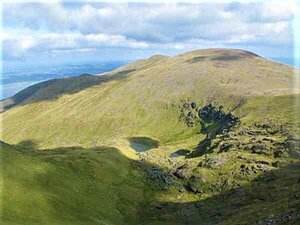
|
Baurtregaum | 851 m a.s.l. | Slieve Mish | 644 m | hlavní vrchol |

|
Beenoskee | 826 m a.s.l. | Slieve Mish | 490 m | hlavní vrchol |

|
Stradbally Mountain | 798 m a.s.l. | Slieve Mish | 51 m | hlavní vrchol |

|
Coombane | 610 m a.s.l. | Slieve Mish | 39 m | hlavní vrchol |

|
Dunmore Head | 90 m a.s.l. | Slieve Mish | 55 m | hlavní vrchol |