Jura
Jura is a limestone mountain range located northwest of the Alps, in France and Switzerland. It stretches in a crescent shape for about 300 km. In the geomorphological classification of Europe, it is grouped with the Alpine foothills as part of the Alps, even though it does not belong to the actual Alps. The highest peak is Crêt de la Neige (1720 m) near Geneva. The geological period known as the Jurassic is named after the Jura mountain range, during which dinosaurs roamed the Earth.
| Highest peak | Crêt de la Neige (1720 m a.s.l.) |
|---|---|
| Most prominent peak | Crêt de la Neige (1720 m a.s.l., prominence 1267 m) |
| Parent unit | Alps |
| Main peaks | Total 14 |
| Most popular peaks | Le Reculet (1718 m a.s.l.), La Dôle (1677 m a.s.l.), Grand Cunay (1603 m a.s.l.), Mont Tendre (1679 m a.s.l.), Crêt de la Neige (1720 m a.s.l.) |

| Name | Elevation | ||||
|---|---|---|---|---|---|

|
Crêt de la Neige | 1720 m a.s.l. | Jura | 1267 m | hlavní vrchol |
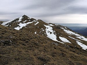
|
Le Reculet | 1718 m a.s.l. | Jura | 68 m | hlavní vrchol |
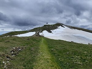
|
Mont Tendre | 1679 m a.s.l. | Jura | 451 m | hlavní vrchol |

|
La Dôle | 1677 m a.s.l. | Jura | 357 m | hlavní vrchol |
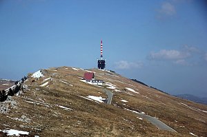
|
Chasseral | 1607 m a.s.l. | Jura | 670 m | hlavní vrchol |
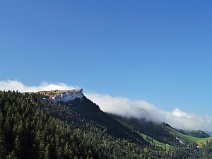
|
Chasseron | 1607 m a.s.l. | Jura | 597 m | hlavní vrchol |
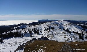
|
Grand Cunay | 1603 m a.s.l. | Jura | 50 m | hlavní vrchol |
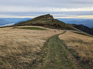
|
Grand Colombier | 1534 m a.s.l. | Jura | 928 m | hlavní vrchol |
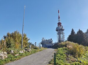
|
Signal du Mont du Chat | 1496 m a.s.l. | Jura | 873 m | hlavní vrchol |
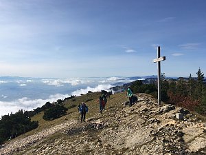
|
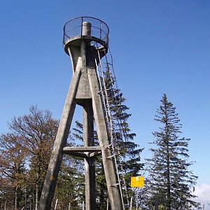
Hasenmatt | 1445 m a.s.l. | Jura | 618 m | hlavní vrchol |
|
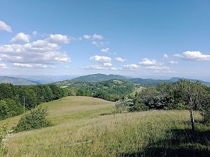
Mont Raimeux | 1302 m a.s.l. | Jura | 530 m | hlavní vrchol |
|
Mollard de Don | 1217 m a.s.l. | Jura | 847 m | hlavní vrchol |

|
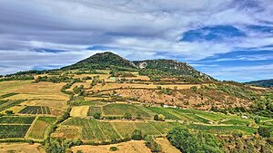
Montagne de Gros Foug | 1059 m a.s.l. | Jura | 696 m | hlavní vrchol |
|
Mont Poupet | 851 m a.s.l. | Jura | 344 m | hlavní vrchol |