Kottické Alpy
| Highest peak | Monviso / Monte Viso / Vísol (3841 m a.s.l.) |
|---|---|
| Most prominent peak | Monviso / Monte Viso / Vísol (3841 m a.s.l., prominence 2062 m) |
| Parent unit | Western Alps |
| Main peaks | Total 31 |
| Most popular peaks | Le Pain de Sucre / Pan di Zucchero (3210 m a.s.l.), Les Orres (2720 m a.s.l.), Rocca Bianca (3063 m a.s.l.), Ponte de Razis (2575 m a.s.l.), Pic Ouest de la Côte Belle (2856 m a.s.l.) |
| Mountain range challenges | Ultraprominent Europe |

| Name | Elevation | ||||
|---|---|---|---|---|---|

|
Monviso / Monte Viso / Vísol | 3841 m a.s.l. | Kottické Alpy | 2062 m | hlavní vrchol |
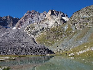
|
Aiguille de Chambeyron | 3412 m a.s.l. | Kottické Alpy | 771 m | hlavní vrchol |

|
Brec de Chambeyron | 3389 m a.s.l. | Kottické Alpy | 461 m | hlavní vrchol |
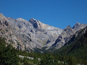
|
Pic Nord de la Font Sancte | 3385 m a.s.l. | Kottické Alpy | 731 m | hlavní vrchol |
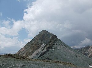
|
Bric de Rubren / Mongioia | 3340 m a.s.l. | Kottické Alpy | 688 m | hlavní vrchol |
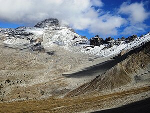
|
Pic de Rochebrune | 3320 m a.s.l. | Kottické Alpy | 1019 m | hlavní vrchol |
|
Punta Ramière / Bric Froid | 3302 m a.s.l. | Kottické Alpy | 672 m | hlavní vrchol |

|
M. Aiguillette / L'Asti | 3298 m a.s.l. | Kottické Alpy | 477 m | hlavní vrchol |

|
Grand Glaiza / Punta Merciantaira | 3293 m a.s.l. | Kottické Alpy | 505 m | hlavní vrchol |
|
|
Rognosa di Sestriere | 3280 m a.s.l. | Kottické Alpy | 580 m | hlavní vrchol |
|
|
Hoher Seeblaskogel | 3235 m a.s.l. | Kottické Alpy | 359 m | hlavní vrchol |

|
Le Peouvou | 3232 m a.s.l. | Kottické Alpy | 490 m | hlavní vrchol |

|
Pic d'Asti | 3219 m a.s.l. | Kottické Alpy | 132 m | hlavní vrchol |

|
Le Pain de Sucre / Pan di Zucchero | 3210 m a.s.l. | Kottické Alpy | 102 m | hlavní vrchol |
|
|
Pointe Haute de Mary | 3206 m a.s.l. | Kottické Alpy | 332 m | hlavní vrchol |

|
Crete de la Taillante | 3197 m a.s.l. | Kottické Alpy | 290 m | hlavní vrchol |

|
Tête de Sautron /Monte Sautron | 3166 m a.s.l. | Kottické Alpy | 313 m | hlavní vrchol |

|
Grand Queyras | 3114 m a.s.l. | Kottické Alpy | 309 m | hlavní vrchol |

|
Tête de la Courbe | 3089 m a.s.l. | Kottické Alpy | 569 m | hlavní vrchol |

|
La Meyna | 3067 m a.s.l. | Kottické Alpy | 375 m | hlavní vrchol |

|
Rocca Bianca | 3063 m a.s.l. | Kottické Alpy | 163 m | hlavní vrchol |
|
|
Grand Queyron | 3060 m a.s.l. | Kottické Alpy | 295 m | hlavní vrchol |
|
Grand Bérard | 3048 m a.s.l. | Kottické Alpy | 939 m | hlavní vrchol |
|
|
Monte Albergian | 3041 m a.s.l. | Kottické Alpy | 435 m | hlavní vrchol |
|
|
Bric Ghinivert | 3037 m a.s.l. | Kottické Alpy | 353 m | hlavní vrchol |

|
Bric Rosso / Monte Politri | 3024 m a.s.l. | Kottické Alpy | 321 m | hlavní vrchol |
|
|
Viso Mozzo | 3019 m a.s.l. | Kottické Alpy | 368 m | hlavní vrchol |

|
Pic Ouest de la Côte Belle | 2856 m a.s.l. | Kottické Alpy | 80 m | hlavní vrchol |

|
Cote Belle Antécime sud | 2844 m a.s.l. | Kottické Alpy | 9 m | vedlejší vrchol |

|
Grand Peygu | 2796 m a.s.l. | Kottické Alpy | 185 m | hlavní vrchol |

|
L'Arpelin | 2604 m a.s.l. | Kottické Alpy | 132 m | hlavní vrchol |

|
Ponte de Razis | 2575 m a.s.l. | Kottické Alpy | 111 m | hlavní vrchol |