Zemplínské vrchy
| Highest peak | Okrúhly vrch (473 m a.s.l.) |
|---|---|
| Most prominent peak | Observation Tower (469 m a.s.l., prominence 295 m) |
| Parent unit | Matransko-slánská oblast |
| Main peaks | Total 19 |
| Most popular peaks | Observation Tower (469 m a.s.l.), Okrúhly vrch (473 m a.s.l.), Dolný les (401 m a.s.l.), Vysoký vrch (434 m a.s.l.), Panský les (425 m a.s.l.) |
| Mountain range challenges | Highest Points of Geomorphological Units of Slovakia, Slovensko 200+ |

| Name | Elevation | ||||
|---|---|---|---|---|---|
|
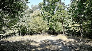
Okrúhly vrch | 473 m a.s.l. | Zemplínské vrchy | 21 m | hlavní vrchol |
|
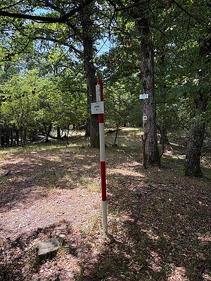
Observation Tower | 469 m a.s.l. | Zemplínské vrchy | 295 m | hlavní vrchol |

|
Vysoký vrch | 434 m a.s.l. | Zemplínské vrchy | 24 m | hlavní vrchol |
|
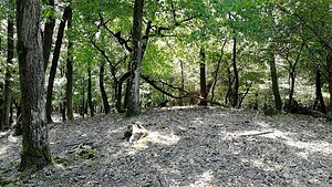
Panský les | 425 m a.s.l. | Zemplínské vrchy | 5 m | vedlejší vrchol |
|
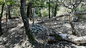
Dolný les | 401 m a.s.l. | Zemplínské vrchy | 13 m | vedlejší vrchol |

|
Plochá hora | 356 m a.s.l. | Zemplínské vrchy | 21 m | hlavní vrchol |

|
Čierna hora | 334 m a.s.l. | Zemplínské vrchy | 78 m | hlavní vrchol |

|
Šimonov vrch | 331 m a.s.l. | Zemplínské vrchy | 32 m | hlavní vrchol |

|
Medový vrch | 326 m a.s.l. | Zemplínské vrchy | 2 m | spočinek/ostatní |

|
Halovská hora | 314 m a.s.l. | Zemplínské vrchy | 61 m | hlavní vrchol |
|
|
Viničná hora | 292 m a.s.l. | Zemplínské vrchy | 43 m | hlavní vrchol |
|
|
Dlhá hora | 279 m a.s.l. | Zemplínské vrchy | 31 m | hlavní vrchol |

|
Strekov | 279 m a.s.l. | Zemplínské vrchy | 9 m | vedlejší vrchol |

|
Pleš | 278 m a.s.l. | Zemplínské vrchy | 78 m | hlavní vrchol |
|
|
Berecka | 273 m a.s.l. | Zemplínské vrchy | 22 m | hlavní vrchol |
|
|
Borsuk | 272 m a.s.l. | Zemplínské vrchy | 89 m | hlavní vrchol |
|
|
Bocianí vrch | 268 m a.s.l. | Zemplínské vrchy | 16 m | hlavní vrchol |
|
|
Vlčia hora | 257 m a.s.l. | Zemplínské vrchy | 51 m | hlavní vrchol |

|
Stredný vrch | 251 m a.s.l. | Zemplínské vrchy | 37 m | hlavní vrchol |
|
|
Vakovec | 247 m a.s.l. | Zemplínské vrchy | 16 m | hlavní vrchol |
|
|
Brezinka | 227 m a.s.l. | Zemplínské vrchy | 16 m | hlavní vrchol |
|
|
Chotárny vrch | 227 m a.s.l. | Zemplínské vrchy | 9 m | vedlejší vrchol |
|
|
Kaca | 211 m a.s.l. | Zemplínské vrchy | 11 m | vedlejší vrchol |

|
Káty | 188 m a.s.l. | Zemplínské vrchy | 15 m | hlavní vrchol |
|
|
Hečka | 169 m a.s.l. | Zemplínské vrchy | 13 m | vedlejší vrchol |
|
|
Tokajský vrch | 159 m a.s.l. | Zemplínské vrchy | 15 m | hlavní vrchol |