Turčianská kotlina
| Highest peak | Borova (690 m a.s.l.) |
|---|---|
| Most prominent peak | Borova (690 m a.s.l., prominence 150 m) |
| Parent unit | Fatra-Tatra Region |
| Main peaks | Total 9 |
| Most popular peaks | Hôrky (632 m a.s.l.), Strážna (610 m a.s.l.), Krieslo (588 m a.s.l.), Hradisko (464 m a.s.l.), Stráž (534 m a.s.l.) |
| Mountain range challenges | Highest Points of Geomorphological Units of Slovakia |

| Name | Elevation | ||||
|---|---|---|---|---|---|
|
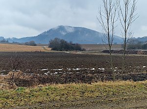
Borova | 690 m a.s.l. | Turčianská kotlina | 150 m | hlavní vrchol |

|
Hlásna skala | 680 m a.s.l. | Turčianská kotlina | významný bod | |

|
Hôrky | 632 m a.s.l. | Turčianská kotlina | 33 m | hlavní vrchol |

|
Vajanok | 629 m a.s.l. | Turčianská kotlina | 26 m | hlavní vrchol |

|
Strážna | 610 m a.s.l. | Turčianská kotlina | 31 m | hlavní vrchol |
|
Lúčina | 596 m a.s.l. | Turčianská kotlina | 9 m | vedlejší vrchol |

|
Krieslo | 588 m a.s.l. | Turčianská kotlina | 41 m | hlavní vrchol |
|
Bohdan | 537 m a.s.l. | Turčianská kotlina | 19 m | hlavní vrchol |

|
Stráž | 534 m a.s.l. | Turčianská kotlina | 62 m | hlavní vrchol |

|
Diel | 520 m a.s.l. | Turčianská kotlina | 2 m | spočinek/ostatní |
|
Kobyla | 504 m a.s.l. | Turčianská kotlina | 5 m | vedlejší vrchol |

|
Diely | 484 m a.s.l. | Turčianská kotlina | 11 m | vedlejší vrchol |
|
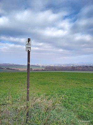
Guard | 475 m a.s.l. | Turčianská kotlina | 10 m | vedlejší vrchol |
|
Kopanica | 472 m a.s.l. | Turčianská kotlina | 10 m | vedlejší vrchol |

|
Hradisko | 464 m a.s.l. | Turčianská kotlina | 19 m | hlavní vrchol |
|
|
Šárková | 463 m a.s.l. | Turčianská kotlina | 22 m | hlavní vrchol |
|
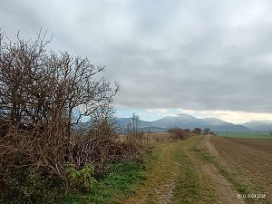
Borok | 454 m a.s.l. | Turčianská kotlina | 10 m | vedlejší vrchol |
|
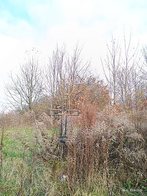
Hradok | 403 m a.s.l. | Turčianská kotlina | 11 m | vedlejší vrchol |