Predtatra Foothills
In the previous division, it was called Pogórze Gubałowskie, but according to the current division from 2018, it is the Pogórza Przedtatrzańskie mesoregion.
| Highest peak | Palenica Kościeliska (1183 m a.s.l.) |
|---|---|
| Most prominent peak | Palenica Kościeliska (1183 m a.s.l., prominence 245 m) |
| Parent unit | Podhôľno-magurská oblast |
| Main peaks | Total 7 |
| Most popular peaks | Gubałówka V (1120 m a.s.l.), Gubałówka (1133 m a.s.l.), Butorowy Wierch (1160 m a.s.l.), Palenica Kościeliska (1183 m a.s.l.), Ostrzysz (1023 m a.s.l.) |
| Mountain range challenges | Dunajec Basin |

| Name | Elevation | ||||
|---|---|---|---|---|---|
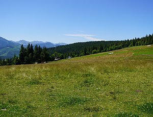
|
Palenica Kościeliska | 1183 m a.s.l. | Predtatra Foothills | 245 m | hlavní vrchol |
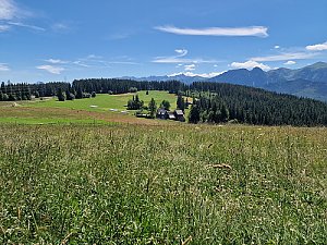
|
Butorowy Wierch | 1160 m a.s.l. | Predtatra Foothills | 30 m | hlavní vrchol |
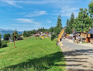
|
Gubałówka | 1133 m a.s.l. | Predtatra Foothills | 10 m | vedlejší vrchol |
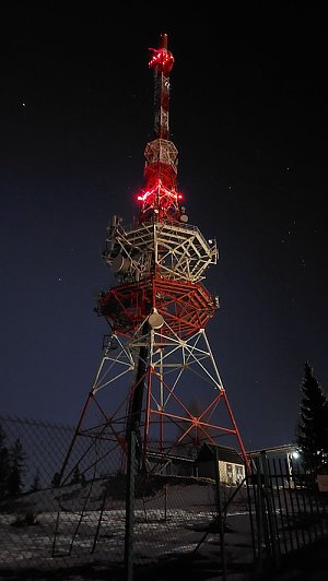
|
Gubałówka V | 1120 m a.s.l. | Predtatra Foothills | 5 m | vedlejší vrchol |

|
Wierch Zgorzelisko | 1105 m a.s.l. | Predtatra Foothills | 51 m | hlavní vrchol |

|
Rear top | 1071 m a.s.l. | Predtatra Foothills | 5 m | vedlejší vrchol |
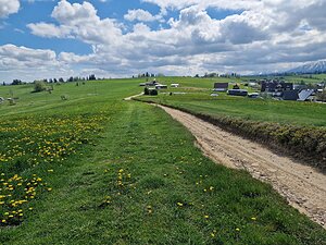
|
Gruszków Wierch | 1030 m a.s.l. | Predtatra Foothills | 2 m | spočinek/ostatní |
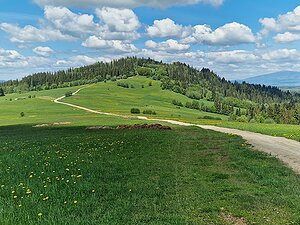
|
Ostrzysz | 1023 m a.s.l. | Predtatra Foothills | 100 m | hlavní vrchol |
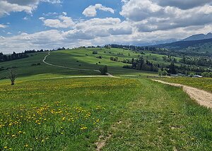
|
Gruszków Wierch Z | 1010 m a.s.l. | Predtatra Foothills | 23 m | hlavní vrchol |

|
Crawl | 1004 m a.s.l. | Predtatra Foothills | 22 m | hlavní vrchol |

|
He wore | 947 m a.s.l. | Predtatra Foothills | 16 m | hlavní vrchol |

|
Rock | 933 m a.s.l. | Predtatra Foothills | 4 m | spočinek/ostatní |