Skanderbeg Mountains
| Highest peak | Micekut te Shemerise (1818 m a.s.l.) |
|---|---|
| Most prominent peak | Mali i Dajtit (1613 m a.s.l., prominence 940 m) |
| Parent unit | Šarský horský systém |
| Main peaks | Total 7 |
| Most popular peaks | Mali i Krujës (1166 m a.s.l.), Ballkoni Boville (539 m a.s.l.), Mali i Dajtit (1613 m a.s.l.), Shkëmbi i Kavajës (98 m a.s.l.), Micekut te Shemerise (1818 m a.s.l.) |

| Name | Elevation | ||||
|---|---|---|---|---|---|

|
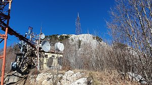
Micekut te Shemerise | 1818 m a.s.l. | Skanderbeg Mountains | 517 m | hlavní vrchol |
|
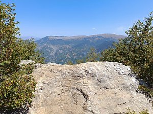
Mali i Dajtit | 1613 m a.s.l. | Skanderbeg Mountains | 940 m | hlavní vrchol |
|
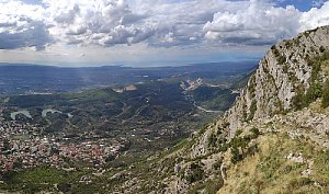
Maja e Tujanit | 1524 m a.s.l. | Skanderbeg Mountains | 170 m | hlavní vrchol |
|
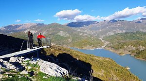
Mali i Krujës | 1166 m a.s.l. | Skanderbeg Mountains | 398 m | hlavní vrchol |
|
Ballkoni Boville | 539 m a.s.l. | Skanderbeg Mountains | 5 m | vedlejší vrchol |
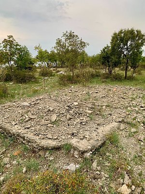
|
Mali Shëngjinit | 361 m a.s.l. | Skanderbeg Mountains | 20 m | hlavní vrchol |

|
Akropolisi | 170 m a.s.l. | Skanderbeg Mountains | 35 m | hlavní vrchol |
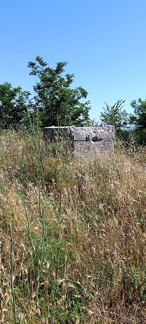
|
Shkëmbi i Kavajës | 98 m a.s.l. | Skanderbeg Mountains | 15 m | hlavní vrchol |
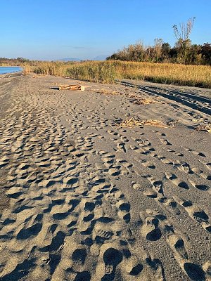
|
Ishulli i Franc Jozefit | 5 m a.s.l. | Skanderbeg Mountains | 3 m | spočinek/ostatní |