King of the Low Tatras King of the Low Tatras

participants
12
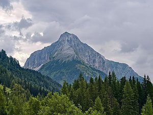
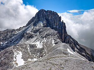
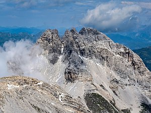
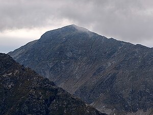
Join our challenge "King of the Low Tatras" and discover the magic of the Low Tatras! This project invites you on an adventurous journey to explore the most beautiful, significant, and prominent peaks of this picturesque mountain range. Whether you are an experienced climber or a beginner, challenges await that will push your limits.

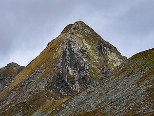
As part of the challenge, you will embark on several routes that will lead you to impressive peaks, mostly the highest mountains of the subranges of this vast mountain range. During the ascents, you will enjoy not only stunning panoramic views but also unique nature and rich fauna. This mountain range is less frequented by tourists than the surrounding ones (Dachstein, Ennstal Alps), so it is not uncommon to encounter no one throughout the day. You will also tackle a simple via ferrata, of which there are not many in the Low Tatras.

The Low Tatras consist of four subranges:
Schladming Tauern: the highest peak of this range is Hochgolling at an elevation of 2862m above sea level, and it is also the highest peak of the entire Low Tatras.
Radstadt Tauern: the highest peak is Weisseck at an elevation of 2711m above sea level.
Rottenmann and Wölz Tauern: the highest peak is Rettelkirchspitze at an elevation of 2475m above sea level.
Seckau Tauern: the highest peak is Geierhaupt at an elevation of 2417m above sea level.

Record your achievements and share them with the community! Join us and experience unforgettable moments in the heart of the Low Tatras.

Conditions for peaks in the challenge:
- highest peak of the subgeographical unit
- elevation above 2200m above sea level
- prominence greater than 300m
- isolation longer than 2km
- located in the Low Tatras
- there is a route leading to it, even if unmarked, but with a maximum difficulty of UIAA II
- ascent is not prohibited

Here are a few optional exceptions that do not meet the hiking difficulty or have no trail leading to them, which will be a cherry on top for true mountain enthusiasts.

* Kasereck 2740m above sea level
* Dreichselspitze 2684m above sea level
* Elendberg 2672m above sea level
* Hocheck 2638m above sea level
* Blutspitze 2626m above sea level.
Hochgolling
2862 m n.m.
1124 m
Roteck
2742 m n.m.
449 m
Kasereck
2740 m n.m., optional
426 m
Weißeck
2711 m n.m.
451 m
Waldhorn
2702 m n.m.
396 m
Dreichselspitze
2684 m n.m., optional
379 m
Mosermandl
2680 m n.m.
556 m
Elendberg
2672 m n.m., optional
345 m
Faulkogel
2654 m n.m.
350 m
Hocheck
2638 m n.m., optional
420 m
Blutspitze
2626 m n.m., optional
440 m
Kraxnkogel
2436 m n.m.
300 m
Deneck
2433 m n.m.
372 m
Geierhaupt
2417 m n.m.
1171 m
Seckauer Zinken
2397 m n.m.
377 m
Pletzen
2345 m n.m.
452 m
Share