

Hiking, 22 km
13.6.2026
 Rakousko
Logged on Vrcholovka 25x in total. Vrchol Hochtor was added here by Léňa Manová and info was completed by Martin Matějka, Milan "Hojší" Průžek a Jiří Králík.
Hochtor is part of challenges: Austrian Alps, Král Ennstalských Alp, Ultraprominent Europe, Ultraprominentní Rakousko, Vápencové ultraperly východních Alp
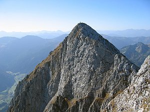
The steepest slopes of Hochtor are to the northeast, formed by a 900 m high wall.
Climbing:
From the south, the normal route leads from the village of Johnsbach along marked paths no. 4 and 664 through the meadows of Untere Koderalm, the Ronnerstein basin, and Schneeloch (several more challenging sections - UIAA II, total 4.5 h).
From the east, the ascent is from Hesshütte via Josefinensteig, where the route is partly a via ferrata along the rocky ledges of the Gugelgrat ridge (UIAA I+) (2.5 h).
Rossschweif is an easy ridge ascent from the east (UIAA III) (3.5 h).
First ascent: H.+F. Wöldl, C. Bernhard, H. Fischer, 1893.
Main ridge of Gesäuse first ascends the side ridge Kirchengrat to Großer Ödstein and continues along the main ridge to Hochtor (UIAA III+) (10-15 h).
First ascent: Emil Zsigmondy, Fischer, Friedmann 1884.
Jahn-Zimmer route is a very long ascent in the northern wall (UIAA III+) (6-8 h).
First ascent: Gustav Jahn, Franz Zimmer, September 2, 1906
Mountain huts:
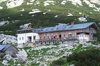
Hesshütte (1699 m). The hut can be reached from all four cardinal directions -
- from the south on foot from Johnsbach, from the east on foot from Hartelsgraben,
- from the north via the secured path Wasserfallweg difficulty A/B (3.5 h) from Kummerbrücke
- and from the west via the climbing route Peternpfad (UIAA II+) from Haindlkar Hütte.
Haindlkar Hütte (1121 m). The hut is accessible from the inn Bachbrücke (525 m) through the Johnsbach valley and a steep gorge over the Gsengscharte pass secured at several points as a via ferrata, or more easily directly from the Enže valley via a footpath.
Photo Supervht, Wikimedia Commons
700m below the summit.
Peak is not stroller accessible.
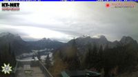
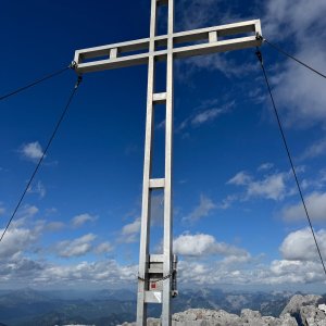
There are views from the peak.
There is no cable car to this peak.
A via ferrata set is required from the hut. The southern route is the normal route.
Peak is freely accessible.
Nearest peaks: Haindlkarwand (2319 m, 0.1 km) Hochtor Nordostgipfel (2357 m, 0.1 km) Dachl (2204 m, 0.3 km) Gugl (2301 m, 0.4 km) Haindlkarturm Westgipfel (2233 m, 0.5 km) Roßkuppe (2153 m, 0.6 km) Festkogelturm (2203 m, 0.8 km) Schneekarturm (2103 m, 0.8 km) Tellersteinkogel (2016 m, 0.8 km) Festkogel SV (2245 m, 1 km) Peternschartenkopf SV1 (2057 m, 1 km) Peternschartenkopf SV2 (2047 m, 1 km) Festkogel (2261 m, 1.1 km) Ödsteinkarturm (2258 m, 1.4 km) Planspitze (2117 m, 1.4 km) Ödsteinkarwand (2308 m, 1.6 km) Großer Ödstein (2335 m, 1.7 km) Teufelturm (2317 m, 1.7 km) Kleiner Ödstein (2163 m, 2 km) Teufelszahn (2120 m, 2 km) Stadelfeldschneid (2092 m, 2.8 km)
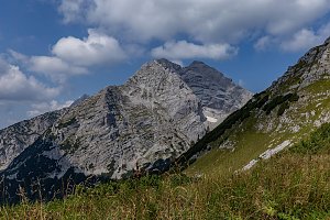 Wasserfallweg & Planspitze
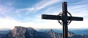 Výstup na vrchol Zinödl v Ennstalských Alpách
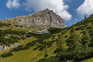 Okruh v Národním parku Gesäuse v Ennstalských Alpách
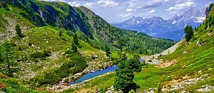 Výstup na Grosser Buchstein
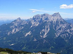 Túra přes NP Gesäuse v Ennstalských Alpách
 Výstup na Lugauer
| today | tomorrow | day after tomorrow | |
|---|---|---|---|
| Dawn: | 6:04 | 6:06 | 6:07 |
| Sunrise: | 6:36 | 6:37 | 6:39 |
| Sunset: | 16:54 | 16:52 | 16:51 |
| Dusk: | 17:26 | 17:24 | 17:22 |