




Hiking, 22 km
13.6.2026
 Rakousko
Logged on Vrcholovka 2x in total. Vrchol Gugl was added here by Jiří Králík.
You must leave the classic hiking trail and walk along the ridge over the summit.
Below the summit
Peak is not stroller accessible.
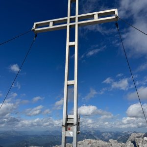
There are views from the peak.
There is no cable car to this peak.
via Ferrata
off the hiking trail
Nearest peaks: Hochtor (2369 m, 0.4 km) Hochtor Nordostgipfel (2357 m, 0.4 km) Haindlkarwand (2319 m, 0.5 km) Tellersteinkogel (2016 m, 0.5 km) Dachl (2204 m, 0.7 km) Haindlkarturm Westgipfel (2233 m, 0.9 km) Roßkuppe (2153 m, 0.9 km) Schneekarturm (2103 m, 0.9 km) Festkogelturm (2203 m, 1 km) Festkogel (2261 m, 1.3 km) Festkogel SV (2245 m, 1.3 km) Peternschartenkopf SV1 (2057 m, 1.3 km) Peternschartenkopf SV2 (2047 m, 1.3 km) Ödsteinkarturm (2258 m, 1.6 km) Planspitze (2117 m, 1.6 km) Ödsteinkarwand (2308 m, 1.8 km) Großer Ödstein (2335 m, 1.9 km) Teufelturm (2317 m, 1.9 km) Kleiner Ödstein (2163 m, 2.2 km) Teufelszahn (2120 m, 2.2 km) Hochzinödl (2191 m, 2.3 km) Stadelfeldschneid (2092 m, 2.3 km)
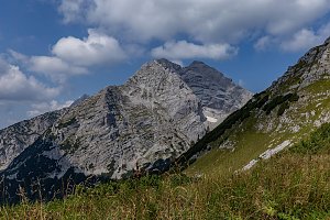 Wasserfallweg & Planspitze
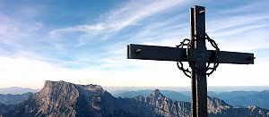 Výstup na vrchol Zinödl v Ennstalských Alpách
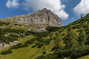 Okruh v Národním parku Gesäuse v Ennstalských Alpách
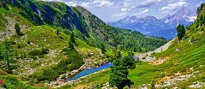 Výstup na Lugauer
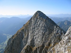 Túra přes NP Gesäuse v Ennstalských Alpách
 Výstup na Grosser Buchstein
| today | tomorrow | day after tomorrow | |
|---|---|---|---|
| Dawn: | 7:01 | 6:03 | 6:04 |
| Sunrise: | 7:33 | 6:34 | 6:36 |
| Sunset: | 17:57 | 16:56 | 16:54 |
| Dusk: | 18:29 | 17:27 | 17:26 |



