

Hiking, 35 km
3.8.2026
 Česko
Český Krumlov (Jihočeský kraj)
Logged on Vrcholovka 117x in total. Peak information here was completed by Martin Matějka a Alexandr Starý.
Kamenec is part of challenges: Crown of the Border Mountains, Czech Crown, Extreme Peaks of the Czech Republic, Nejhory Novohradek, Šumavské ultratisícovky, The Highest Peaks of South Bohemia, Thousanders of the Czech Republic, Ultrapeaks, Via Czechia Southern Trail
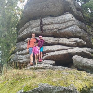
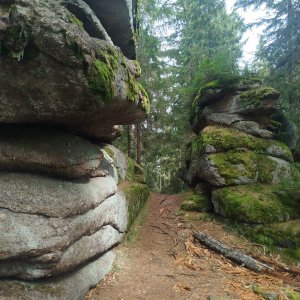
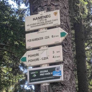
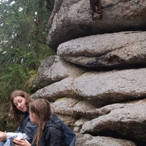
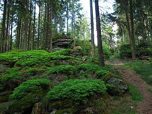
The highest mountain in the Czech part of the Novohradské Mountains and the southernmost Czech ultrametric peak. 3 km southwest of the village of Pohoří na Šumavě, 400 m from the state border. The summit features prominent rocky ramparts, with frost cliffs and cryoplanation terraces on the slopes. The geodetic point is located on the summit rock, which requires at least basic climbing skills to conquer.
There is no chalet on the peak.
Peak is not stroller accessible.
There are no views from the peak.
There is no cable car to this peak.
No special equipment is required for this summit.
Peak is freely accessible.
Nearest peaks: Kamenec J (1056 m, 0.2 km) Kamenec JZ (1059 m, 0.2 km) Haubenberg (1036 m, 0.8 km) Kamenec V (999 m, 1 km) Schwarze Mauer (1071 m, 1 km) Klein Schwarze Mauer (1066 m, 1.1 km) Haubenberg J (1036 m, 1.2 km) Kamenec V2 (997 m, 1.2 km) Nad Pavlínou (962 m, 1.4 km) Schwarze Mauer S (1032 m, 1.5 km) Taufelberg (1042 m, 1.5 km) Sepplberg (1004 m, 1.8 km) Střední vrch (955 m, 1.8 km) Vorderer Schanzer Berg (1013 m, 1.8 km) Nad Prameništěm (943 m, 2.1 km) Nad Prameništěm S (933 m, 2.2 km) Hengstberg (993 m, 2.5 km) Říjiště (993 m, 2.8 km) Jiřická hora (942 m, 3 km) Za Tanky (992 m, 3 km) Pastvina Z (935 m, 3.2 km) Říjiště S (986 m, 3.2 km) Za Tanky S (982 m, 3.3 km) Lovčí hřbet J (932 m, 3.4 km) Jelení hora (947 m, 3.8 km)
 Sandl › East
 Sandl › West

| today | tomorrow | day after tomorrow | |
|---|---|---|---|
| Dawn: | 6:04 | 6:05 | 6:07 |
| Sunrise: | 6:36 | 6:38 | 6:39 |
| Sunset: | 16:54 | 16:52 | 16:50 |
| Dusk: | 17:26 | 17:24 | 17:22 |