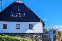


Hiking, 4 km
10.5.2026
 Česko
 Rakousko
Český Krumlov (Jihočeský kraj)
Logged on Vrcholovka 33x in total. Peak information here was completed by Martin Matějka.
Kamenec V is part of challenges: Nejhory Novohradek, The Highest Peaks of South Bohemia, Thousanders of the Czech Republic
The secondary peak of the Austrian thousand-meter mountain Vorderer Schanzer Berg. According to the ČÚZK map, it does not reach 1000 m (999.0 m), while older sources indicated the peak was 1001 m.
There is no chalet on the peak.
Peak is not stroller accessible.
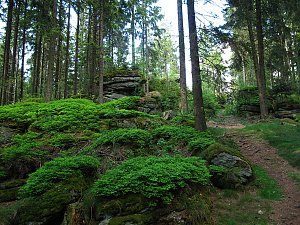
There are no views from the peak.
There is no cable car to this peak.
No special equipment is required for this summit.
Peak is freely accessible.
Nearest peaks: Kamenec V2 (997 m, 0.3 km) Sepplberg (1004 m, 0.8 km) Vorderer Schanzer Berg (1013 m, 0.9 km) Kamenec (1073 m, 1 km) Kamenec J (1056 m, 1 km) Kamenec JZ (1059 m, 1.1 km) Nad Pavlínou (962 m, 1.4 km) Nad Prameništěm (943 m, 1.4 km) Stodůlecký vrch SZ (952 m, 1.5 km) Haubenberg (1036 m, 1.7 km) Nad Prameništěm S (933 m, 1.8 km) Stodůlecký vrch (963 m, 1.8 km) Hinterer Schanzer Berg (1010 m, 1.9 km) Haubenberg J (1036 m, 2 km) Schwarze Mauer (1071 m, 2 km) Střední vrch (955 m, 2 km) Klein Schwarze Mauer (1066 m, 2.1 km) Stodůlecký vrch S (959 m, 2.1 km) Schwarze Mauer S (1032 m, 2.4 km) Hengstberg (993 m, 2.5 km) At the Crossing (943 m, 2.7 km) Pastvina Z (935 m, 2.9 km) Pastvina (951 m, 3 km) Lovčí hřbet J (932 m, 3.2 km) Jiřická hora (942 m, 3.4 km) Říjiště (993 m, 3.4 km) Za Tanky (992 m, 3.7 km)
 Sandl › East
 Sandl › West

| today | tomorrow | day after tomorrow | |
|---|---|---|---|
| Dawn: | 6:04 | 6:05 | 6:07 |
| Sunrise: | 6:36 | 6:38 | 6:39 |
| Sunset: | 16:54 | 16:52 | 16:50 |
| Dusk: | 17:26 | 17:24 | 17:22 |