
Hiking, 8 km
16.9.2026


 Česko
Trutnov (Královéhradecký kraj)
Logged on Vrcholovka 24x in total. Peak information here was completed by Petr, Martin Matějka a Krtek.
Lesní hora is part of challenges: Koruna Sudet, The Highest Mountains of Hradec Králové Region, Thousanders of the Czech Republic, Tisícovky Krkonoš
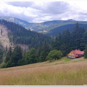
A forested peak near Pec pod Sněžkou. At the highest point, a geodetic benchmark is hidden in the bilberry bushes, and next to it lies a rusty geodetic rod (temporarily erected for photography). The summit itself has no views, but the clearings below offer beautiful views of the Obří Důl valley and Růžová hora, Sněžka, Studniční hora, and Luční hora. In this area populated by tourists, it is an oasis of peace.
There is no chalet on the peak.
Peak is not stroller accessible.
From the summit, which is partially in the forest, there is only a limited view of Liščí hora. However, a beautiful view of Luční hora, Studniční hora, Sněžka, and Růžová hora opens up from the ridge leading from Lesní hora towards Výrovka, about 300 m from the summit. It is even one of the most beautiful views of Sněžka that I have found in the Krkonoš mountains, I would say.
There is no cable car to this peak.
No special equipment is required for this summit.
Peak is freely accessible.
Nearest peaks: Skalka (888 m, 1.7 km) Studniční hora (1554 m, 2.2 km) Liščí hora (1363 m, 2.3 km) Růžová hora (1393 m, 2.5 km) Luční hora (1556 m, 3.1 km) Sněžka (1603 m, 3.7 km)
 Přechod Krkonoš
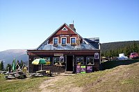
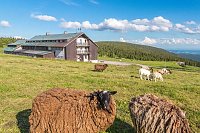
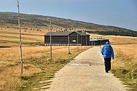
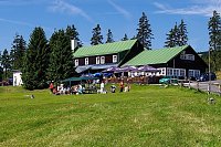
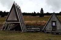
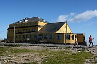
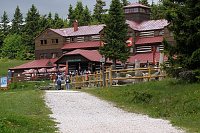
 Pec pod Snezkou: Bobová dráha
 Pec pod Snezkou › West: HOTELHORIZONT
 Pec pod Sněžkou: Chalupa na Rozcestí (Krkonoše)
 Pec pod Snezkou › North-East: Sněžka - Na Rozcestí
 Pec pod Snezkou › North-east: Luční hora - Studniční hora - Sněžka
 Pec pod Snezkou › East: Cerná Hora
 Pec pod Snezkou › East: Luční bouda - Královéhradecký kraj, Česko
 Pec pod Snezkou: Schneekope
 Pec pod Snezkou: Schneekope
 Pec pod Snezkou: Krkonoše - Luční bouda (pohled na boudu se sezením)
 Pec pod Snezkou: Javor
 Pec pod Snezkou: Javor
 Sněžka, pohled na Studniční horu
 Pec pod Snezkou: Krkonoše, Sněžka, nová lanovka (pohled na jih)
 Mala Upa: Sněžka - lanovka
 Mala Upa: Sněžka - lanovka
 Karpacz: Sněžka
 Pec pod Snezkou: ŚNIEŻKA
 Sněžka
 Karpacz › East: Dom Śląski Karpacz
 Pec pod Snezkou: Velká Úpa - Velká Úpa, POI 1
 Karpacz › North: Kopa Chairlift Top Station
 Tetrevi Boudy
 Karpacz: Kopa
 Borowice › North: Karpacz - Giant Mountains
 Borowice: Schronisko Samotnia, Karpacz
 Janske Lazne: Černá hora - Vysílač ČRa
 Janske Lazne › South-West
 Dolni Dvur: Lyžařský areál - Údolí
 Janske Lazne › South
 Janske Lazne: Janské Lázně, Černá hora - Pod Sokolskou boudou
 Janske Lazne: Janské Lázně, Černá hora - Pod Sokolskou boudou
 Janske Lazne: Černá Hora Lookout
 Janske Lazne: Janské Lázně, Černá hora - Černá hora
 Janske Lazne: Janské Lázně, Černá hora - Černá hora

| today | tomorrow | day after tomorrow | |
|---|---|---|---|
| Dawn: | 6:09 | 6:11 | 6:12 |
| Sunrise: | 6:43 | 6:45 | 6:46 |
| Sunset: | 16:38 | 16:36 | 16:34 |
| Dusk: | 17:12 | 17:10 | 17:08 |