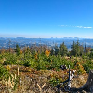

Hiking, 64 km
17.10.2026
 Česko
 Slovensko
Frýdek-Místek (Moravskoslezský kraj) Žilinský kraj
Logged on Vrcholovka 870x in total. Peak information here was completed by karina gasova, Kahule, NadWei, Jaroslav Flidr a Martin Matějka.
Velký Polom is part of challenges: Crown of the Moravian-Silesian Beskids, Czech-Slovak Ridge, Extreme Peaks of the Czech Republic, Highest Peaks of the Moravian-Silesian Beskids, Highest Points of Geomorphological Units of Slovakia, Most Isolated, Nejhory Moravskoslezska, Slovensko 200+, The Most Prominent Mountains of the Czech Republic, Thousanders of the Czech Republic, Ultrapeaks, Via Czechia Severní stezka, Via Czechia Southern Trail
The easternmost Czech peak over a thousand meters and an ultrapeak, as well as the highest summit of the Slovak part of the Moravian-Silesian Beskids. Frost niches are common in the summit area. In the northern part of the peak, the Velký Polom Nature Reserve stretches between elevations 840–1067 meters.
The Velký Polom massif continues eastward, where the peaks Kostelky (952 m) and Skalka (932 m) rise from the ridge. Skalka is also the easternmost peak of the Moravian-Silesian Beskids and forms the Jablunkov Pass with the opposite mountain Gírovou, which separates the Moravian-Silesian Beskids from the Silesian Beskids. The ridge also forms the European watershed between the Odra and the Danube.
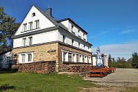
There is no chalet on the peak.
Peak is not stroller accessible.
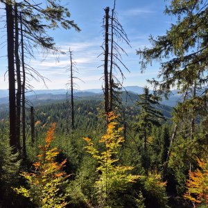
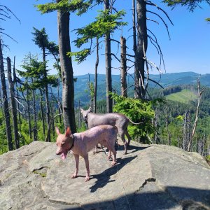
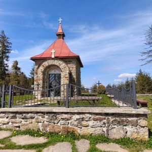
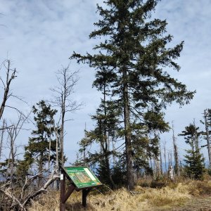
There are views from the peak.
There is no cable car to this peak.
No special equipment is required for this summit.
Peak is freely accessible.
Nearest peaks: Velký Polom J (1039 m, 0.5 km) Úplaz J (942 m, 0.8 km) Muřinkový vrch (978 m, 1.2 km) Muřinkový vrch JZ (970 m, 1.4 km) Kostelíky (867 m, 1.5 km) Medvedia skala (853 m, 1.6 km) Úplaz (950 m, 1.7 km) Polana J (858 m, 1.8 km) Kostelíky SZ3 (833 m, 1.9 km) Čerchlaný Beskyd (945 m, 2 km) Burkův vrch S (970 m, 2.1 km) Polana (851 m, 2.1 km) Přelač (731 m, 2.1 km) Under Polom (783 m, 2.3 km) Kostelíky SZ2 (818 m, 2.4 km) Úplaz SZ (845 m, 2.4 km) Kostelíky SZ1 (823 m, 2.6 km) Kostelíky SZ (714 m, 2.9 km) Smolkov JZ (753 m, 3.1 km) Menší vrch (894 m, 3.3 km) Smolkov (752 m, 3.3 km) Latkula (674 m, 3.8 km)
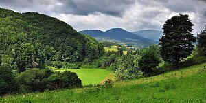 Přes Beskydy a Javorníky podél východní hranice
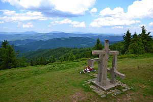 Přechod kysuckých Javorníků
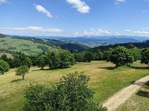
 Dolni Lomna: Ski areál SEVERKA v Dolní Lomné - Chata Severka - Dolní Lomná
 Dolni Lomna: Ski areál SEVERKA v Dolní Lomné - Chata Severka - Dolní Lomná
 Dolni Lomna: Ski areál SEVERKA v Dolní Lomné - Chata Severka - Dolní Lomná
 Dolni Lomna: Ski areál SEVERKA v Dolní Lomné - Chata Severka - Dolní Lomná
 Dolni Lomna › North
 Dolni Lomna › North

| today | tomorrow | day after tomorrow | |
|---|---|---|---|
| Dawn: | 5:49 | 5:51 | 5:52 |
| Sunrise: | 6:22 | 6:24 | 6:25 |
| Sunset: | 16:36 | 16:34 | 16:32 |
| Dusk: | 17:09 | 17:07 | 17:05 |