
Hiking, 39 km
3.10.2026
 Česko
 Slovensko
Frýdek-Místek (Moravskoslezský kraj)
Logged on Vrcholovka 335x in total. Vrchol Muřinkový vrch was added here by Emerin and info was completed by Emerin, Laina666, NadWei a Alexandr Starý.
Muřinkový vrch is part of challenges: Czech-Slovak Ridge, Highest Peaks of the Moravian-Silesian Beskids
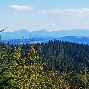
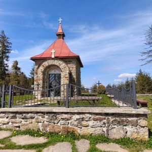
The peak is located above the village of Horní Lomná, part of the border ridge (the border between the Beskydy Protected Landscape Area and the Kysuce Protected Landscape Area) at an elevation of 975 m above sea level. Below the summit, there is a chapel built in 1910. The summit is not accessible via any marked hiking trail; it can be reached from the chapel, which is less than 300 meters away. There is an intersection of marked hiking paths with a signpost Muřinkový vrch-chapel. Just below the summit, there is a chapel and a junction of marked hiking trails. The yellow trail descends to the village of Horní Lomná, while the red trail continues to Mosty u Jablůnkova.
There is no chalet on the peak.
Peak is not stroller accessible.
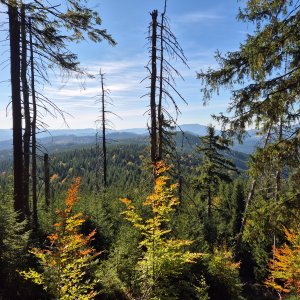
The summit is covered with tall trees.
There is no cable car to this peak.
In winter, crampons or snowshoes are recommended.
Peak is freely accessible.
Nearest peaks: Muřinkový vrch JZ (970 m, 0.2 km) Polana J (858 m, 0.8 km) Burkův vrch S (970 m, 0.9 km) Velký Polom J (1039 m, 0.9 km) Velký Polom (1067 m, 1.2 km) Burkův vrch (1032 m, 1.3 km) Polana (851 m, 1.3 km) Kostelíky (867 m, 1.6 km) Úplaz J (942 m, 1.7 km) Přelač (731 m, 1.8 km) Kostelíky SZ3 (833 m, 1.9 km) Čerčok (800 m, 2.1 km) Kostelíky SZ2 (818 m, 2.3 km) Polana S (678 m, 2.3 km) Kostelíky SZ1 (823 m, 2.4 km) Kostelíky SZ (714 m, 2.5 km) Úplaz (950 m, 2.5 km) Úplaz SZ (845 m, 2.8 km) Gruník J (704 m, 3.1 km) Bahaňa (827 m, 3.5 km) Gruník (742 m, 3.5 km)
 Přechod kysuckých Javorníků
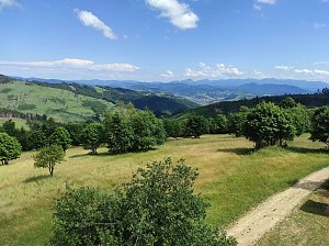
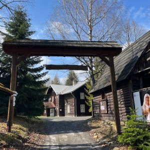
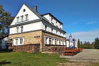
 Dolni Lomna: Ski areál SEVERKA v Dolní Lomné - Chata Severka - Dolní Lomná
 Dolni Lomna: Ski areál SEVERKA v Dolní Lomné - Chata Severka - Dolní Lomná
 Dolni Lomna: Ski areál SEVERKA v Dolní Lomné - Chata Severka - Dolní Lomná
 Dolni Lomna: Ski areál SEVERKA v Dolní Lomné - Chata Severka - Dolní Lomná
 Dolni Lomna › North
 Dolni Lomna › North

| today | tomorrow | day after tomorrow | |
|---|---|---|---|
| Dawn: | 5:51 | 5:52 | 5:54 |
| Sunrise: | 6:24 | 6:25 | 6:27 |
| Sunset: | 16:34 | 16:32 | 16:31 |
| Dusk: | 17:07 | 17:05 | 17:04 |