Massif Etna
| Highest peak | Etna (3403 m a.s.l.) |
|---|---|
| Most prominent peak | Etna (3403 m a.s.l., prominence 3403 m) |
| Parent unit | Sicilian Volcanic Region |
| Main peaks | Total 8 |
| Most popular peaks | Etna (3403 m a.s.l.), Cratere Barbagallo (2935 m a.s.l.), Coni eruzione 2003 (2900 m a.s.l.), Crateri Silvestri inferiori (1912 m a.s.l.), Monti Calcarazzi o Corvo (2057 m a.s.l.) |
| Mountain range challenges | Crown of Europe, Highest Geographical Points of Europe, Ultraprominent Europe |

| Name | Elevation | ||||
|---|---|---|---|---|---|

|
Etna | 3403 m a.s.l. | Massif Etna | 3403 m | hlavní vrchol |

|
Cratere Barbagallo | 2935 m a.s.l. | Massif Etna | 30 m | hlavní vrchol |

|
Coni eruzione 2003 | 2900 m a.s.l. | Massif Etna | 10 m | vedlejší vrchol |
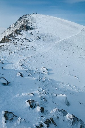
|
Pizzi Dèneri | 2845 m a.s.l. | Massif Etna | 56 m | hlavní vrchol |

|
Cratere Piano del Lago o Escrivà | 2672 m a.s.l. | Massif Etna | 56 m | hlavní vrchol |

|
Montagnola | 2648 m a.s.l. | Massif Etna | 54 m | hlavní vrchol |

|
Monti Calcarazzi o Corvo | 2057 m a.s.l. | Massif Etna | 5 m | vedlejší vrchol |

|
Crateri Silvestri superiori | 2001 m a.s.l. | Massif Etna | 35 m | hlavní vrchol |

|
Crateri Silvestri inferiori | 1912 m a.s.l. | Massif Etna | 11 m | vedlejší vrchol |

|
Monte Scorsone | 1608 m a.s.l. | Massif Etna | 35 m | hlavní vrchol |

|
Monte Cerasa | 1533 m a.s.l. | Massif Etna | 9 m | vedlejší vrchol |

|
Monte Fontane | 1279 m a.s.l. | Massif Etna | 31 m | hlavní vrchol |