


Hiking, 18 km
7.10.2023
 Lichtenštejnsko
 Švýcarsko
Logged on Vrcholovka 18x in total. Peak information here was completed by michal čech, koc256, Jan Matiášek, Martin Matějka a Jiří Králík.
Vorder Grauspitz is part of challenges: Highest Geographical Points of Europe, Highest Mountains of European Countries
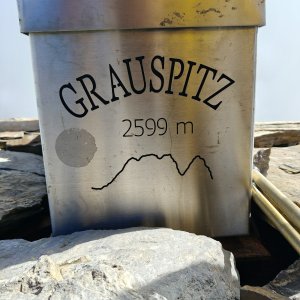
The highest peak of Liechtenstein. If we bypass Hinter Grauspitz, it is an exposed difficult hike without markings. Via Hinter, it is an exposed I-II. Access from Switzerland via the 'normal route' as described below, or from Liechtenstein through the gully to the saddle, which is a technically more challenging option. Summit statue. No markings.
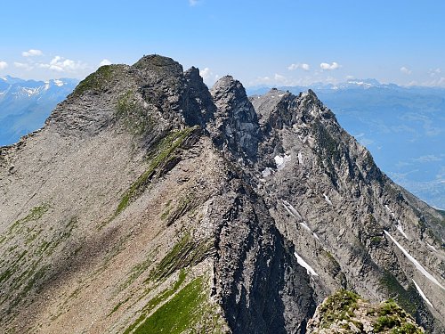
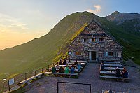
I started the ascent from the Swiss village of Malans, where a cable car leads, saving a significant part of the journey (the cable car must be reserved in advance, otherwise it may be full). From the upper station of the cable car, I continued to the mountain settlement of Alp Ijes, where the path was maintained the whole time. From the settlement, there followed a ridge path to the summit of Hinter Grauspitz. Here, it was necessary to concentrate and be careful, as the ridge was quite sharp in places. From my perspective, the most dangerous part is the ridge from Hinter Grauspitz to the highest peak Vorder Grauspitz.
There is no chalet on the peak.
Peak is not stroller accessible.
There are views from the peak.
Partially save energy using the cable car from the village of Malans.
Up to the ridge between Hinter Grauspitz and Vorder Grauspitz, it is not necessary. In bad weather, and for some even in good weather, it would be more comfortable (safer) to go at least in pairs and secure with a rope.
Peak is freely accessible.
Nearest peaks: Klein Grauspitz (2584 m, 0.1 km) Vorder Grauspitz ostspitze (2588 m, 0.1 km) Gratwächter (2556 m, 0.2 km) Hinter Grauspitz / Schwarzhorn (2574 m, 0.5 km) Falknis (2565 m, 1.3 km) Naafkopf (2571 m, 2.1 km) Naafkopf JV (2486 m, 2.3 km) Klein Augstenberg (2248 m, 3.5 km) Augstenberg J (2357 m, 3.8 km) Augstenberg (2359 m, 4 km)
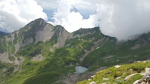 Výstup na Naafkopf - horu na trojmezí
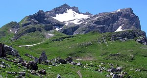 Liechtensteiner Höhenweg: zajištěná vysokohorská túra v pohoří Rätikon
| today | tomorrow | day after tomorrow | |
|---|---|---|---|
| Dawn: | 7:21 | 6:22 | 6:24 |
| Sunrise: | 7:52 | 6:54 | 6:55 |
| Sunset: | 18:19 | 17:17 | 17:15 |
| Dusk: | 18:50 | 17:48 | 17:46 |