

Hiking, 7 km
11.10.2026
 Česko
Frýdek-Místek (Moravskoslezský kraj)
Logged on Vrcholovka 44x in total. Vrchol Janikula S was added here by PA!WELL and info was completed by PA!WELL, Alexandr Starý a Pája.
Janikula S is part of challenge: Highest Peaks of the Moravian-Silesian Beskids
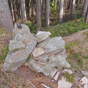
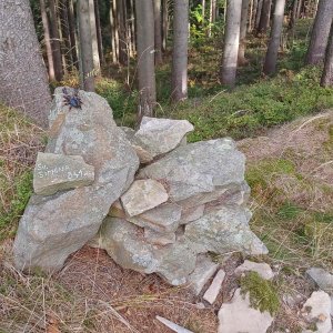
The summit is formed by a rocky plateau, easily accessible from the parking lot at Grúň.
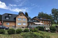
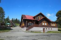
Hotel Charbulák is about 1 km from the summit.
Peak is not stroller accessible.
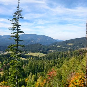
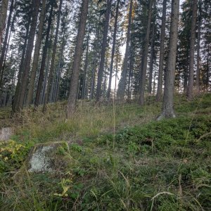
There are no views from the peak.
There is no cable car to this peak.
No special equipment is required for this summit.
The best access is from the parking lot at Grúň - about 0.5 km
Nearest peaks: Janikula (832 m, 0.5 km) Grun (842 m, 0.9 km) Vápeníky (761 m, 1.1 km) Malý Lučný S (756 m, 1.3 km) Janikula JZ (814 m, 1.4 km) Okrouhlice J (737 m, 1.4 km) Malý Lučný (766 m, 1.5 km) Kozlena J (780 m, 1.7 km) Velký Lučný (746 m, 1.8 km) Porubané (597 m, 1.9 km) Rovné (668 m, 1.9 km) Těšíňočka (919 m, 2 km) Velký Lučný SV (731 m, 2 km) Malý Lučný JV (669 m, 2.1 km) Příslop (782 m, 2.1 km) Kozlena (886 m, 2.2 km) Mizerov (692 m, 2.2 km) Muchovec (887 m, 2.3 km) Jestřábník (662 m, 2.4 km) Slučinec (712 m, 2.4 km) Okrouhlice (832 m, 2.6 km) Muchovec SZ (869 m, 2.8 km) Těšinoky (658 m, 2.8 km)
 Staré Hamry › West: Ski Park Gruň
 Bila: Bílá
 Bílá › South-West: White Ski Resort
 Moravka: Visalaje vlek
 Krasna
 Bila: Skiareál Bílá - Bílá - panorama
 Bila: Skiareál Bílá - Lanovka - výstupní stanice
 Ski Center Bila
 Krasna › North-East

| today | tomorrow | day after tomorrow | |
|---|---|---|---|
| Dawn: | 6:48 | 5:50 | 5:51 |
| Sunrise: | 7:21 | 6:23 | 6:24 |
| Sunset: | 17:39 | 16:37 | 16:35 |
| Dusk: | 18:11 | 17:09 | 17:08 |