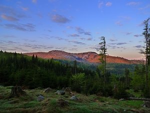




Cycling, 43 km
8.5.2026
 Česko
Klatovy (Plzeňský kraj)
Logged on Vrcholovka 244x in total. Peak information here was completed by Zdeněk "DrakMrak", Bouřka a Martin Matějka.
Poledník is part of challenges: Cross on the Summit of Domestic Mountains and Hills, Crown of Regions and Districts, Highest Peaks of All Regions of the Czech Republic, Šumavské tisícovky, Šumavské ultratisícovky, The Highest Peaks of Plzeň Region, Thousanders of the Czech Republic, Ultrapeaks, Via Czechia Southern Trail
A beautiful spot with the possibility of bivouacking next to the lookout tower.
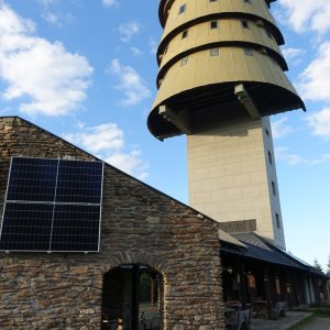
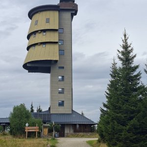
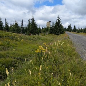
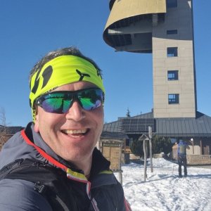
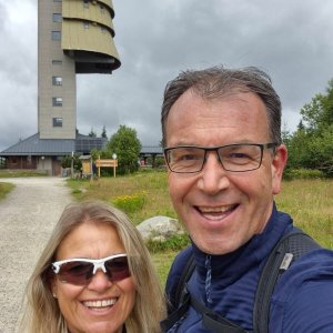
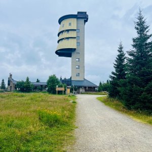
A rounded ridge 4.5 km south of Prášily. The highest point of the Prášil plains. An asymmetrical para-ridge peak, part of a massive ridge with remnants of a leveled surface. The slopes feature frost weathering shapes – frost cliffs, rock outcrops, and debris. The eastern slopes are steep, reshaped by glacial activity into a cirque with Prášilské lake (north of the peak). At the summit stands a former (37 m high) military radar from the 1970s. Since 1998, there are three semi-circular observation platforms with an exhibition from the NP Administration in its tower. Other military structures have been demolished. Ideal panoramic views; in good visibility, one can see Central Bohemia (Brdy) and the Alps to the south. Refreshments are available at the buffet. An information point for NP Šumava. Poledník is covered with mountain spruce forest, partially damaged by bark beetles. There is a geodetic point on the summit plateau. (tisicovky.cz)
There is a transmitter, a museum, a lookout tower, and some amenities, but it is not a typical chalet. Sleeping is outdoors in a tent at the bivouac site, or possibly under the roof on the terraces. It is also possible to make a fire in the outdoor fireplace.
This peak is accessible with a stroller.
There are views from the peak.
There is no cable car to this peak.
No special equipment is required for this summit.
Peak is freely accessible.
Nearest peaks: Předěl (1242 m, 1 km) Poledník S (1242 m, 1.3 km) Skalka (1238 m, 1.7 km) Jezernice JZ (1248 m, 1.8 km) Gfälleiruck (1302 m, 1.9 km) Distelruck (1304 m, 2.2 km) Skalka SZ (1081 m, 2.6 km) Větrný (1014 m, 3.4 km) Hahnenbogen J (1102 m, 3.9 km)
| today | tomorrow | day after tomorrow | |
|---|---|---|---|
| Dawn: | 7:05 | 7:07 | 7:08 |
| Sunrise: | 7:37 | 7:39 | 7:41 |
| Sunset: | 18:03 | 18:01 | 18:00 |
| Dusk: | 18:36 | 18:34 | 18:32 |