


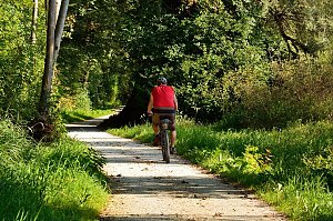


Running, 44 km
1.5.2026
 Česko
Olomouc (Olomoucký kraj)
Logged on Vrcholovka 29x in total. Spočinek Zelený kříž was added here by PA!WELL and info was completed by Martin Matějka.
Zelený kříž is part of challenges: Barevné vrcholy, Cross on the Summit of Domestic Mountains and Hills
The summit is easily accessible through a sparse, tall forest right next to the road. Clearly marked and visible from afar. Its southern peak (662 m a.s.l., about 400 meters away) is the highest freely accessible peak of the Oderské vrchy.
There is no chalet on the peak.
Peak is not stroller accessible.
Partially cleared area towards Kozlov
There is no cable car to this peak.
No special equipment is required for this summit.
Peak is freely accessible.
Nearest peaks: Zelený kříž J (662 m, 0.4 km) Křížová hora (656 m, 1.4 km) Kožuch (654 m, 1.6 km) Ranoš (656 m, 1.7 km) Vypálené (662 m, 1.8 km) Dolní Kazatelny (620 m, 2.1 km) U zadní boudy (652 m, 2.5 km) Dobytčí vrch (600 m, 2.9 km) Mufloní vrch (604 m, 2.9 km)
| today | tomorrow | day after tomorrow | |
|---|---|---|---|
| Dawn: | 6:52 | 5:54 | 5:55 |
| Sunrise: | 7:25 | 6:27 | 6:28 |
| Sunset: | 17:42 | 16:40 | 16:38 |
| Dusk: | 18:15 | 17:13 | 17:11 |















