


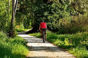


Hiking, 2 km
6.10.2024
 Česko
Olomouc (Olomoucký kraj)
Logged on Vrcholovka 6x in total. Vrchol Zelený kříž J was added here by Jiří Králík and info was completed by Jiřina.
The highest freely accessible peak of the Oderské vrchy. The summit itself is forested, but a few meters to the south, views open up.
In close proximity to the summit, there is a little-used forest path, but even that will help.
There is no chalet on the peak.
Peak is not stroller accessible.
There are no views from the peak.
There is no cable car to this peak.
No special equipment is required for this summit.
Peak is freely accessible.
Nearest peaks: Kožuch (654 m, 1.4 km) Vypálené (662 m, 1.4 km) Křížová hora (656 m, 1.6 km) Ranoš (656 m, 1.6 km) Dolní Kazatelny (620 m, 1.8 km) U zadní boudy (652 m, 2.1 km) Mufloní vrch (604 m, 2.5 km) Dobytčí vrch (600 m, 2.6 km) Malý Polom (612 m, 3.2 km)
| today | tomorrow | day after tomorrow | |
|---|---|---|---|
| Dawn: | 5:55 | 5:57 | 5:58 |
| Sunrise: | 6:28 | 6:30 | 6:31 |
| Sunset: | 16:38 | 16:36 | 16:35 |
| Dusk: | 17:11 | 17:09 | 17:08 |



