

Hiking
ne, 18.4.2021, 13:35


 Česko
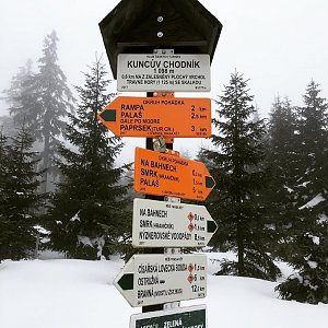
Logged on Vrcholovka 1x in total. Vrchol Kuncův chodník was added here by Dafko94.
Help others and .
There is no chalet on the peak.
There are no views from the peak.
There is no cable car to this peak.
No special equipment is required for this summit.
Peak is freely accessible.
Nearest peaks: Travná hora (1125 m, 0.6 km) Kuník (1078 m, 0.7 km) Brousek (1116 m, 0.9 km) Liščí hora (1007 m, 1.1 km) Trnová hora (1060 m, 1.3 km) Smrk (1127 m, 1.5 km) Smrek Trójkrajny (1109 m, 1.6 km) Klín S (975 m, 1.9 km) Luční hora V (966 m, 2 km) Hřebeňák (1009 m, 2.1 km) Klín (983 m, 2.3 km) Ostružník (952 m, 2.5 km) Ostružník (940 m, 2.6 km) Sokolí skály (838 m, 3.2 km) Studený (1042 m, 3.6 km)
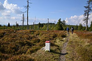 Via Czechia - Stezka Slezkem
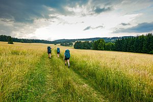 Sudetský okuh přes Praděd a Králický Sněžník
 Velke Vrbno: Snow park Paprsek - Lanovka - pohled nahoru
 Velké Vrbno: Hotel Paprsek
 Velké Vrbno: Hotel Paprsek
 Velké Vrbno: Snow park Paprsek
 Velke Vrbno: Snow park Paprsek - Nástup na lanovku
 Ostruzna: Ramzová
 Ramzová: Ski Center R3 Ramzova
 Ostruzna: Skiarena R Ramzová - Horské minikáry
 Ostruzna: Skiarena R Ramzová - Horní část sjezdovky Skiareálu Ramzová
 Ostruzna › North-East

| today | tomorrow | day after tomorrow | |
|---|---|---|---|
| Dawn: | 5:58 | 6:00 | 6:01 |
| Sunrise: | 6:32 | 6:33 | 6:35 |
| Sunset: | 16:39 | 16:37 | 16:35 |
| Dusk: | 17:13 | 17:11 | 17:09 |