



Hiking
ne, 10.9.2023, 8:35

 Itálie
Logged on Vrcholovka 4x in total. Vrchol Pralongiá was added here by Nojby and info was completed by Martin Matějka a Jan Blažej.
Help others and .
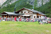
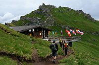
There is a chalet on the peak.
This peak is accessible with a stroller.
There are views from the peak.
6-CLD Masarei
No special equipment is required for this summit.
Peak is freely accessible.
Nearest peaks: Störes (2185 m, 0.6 km) Piz Bioch (2079 m, 1.6 km) Piz de Surega (2011 m, 2.6 km) Col Alt (1980 m, 3.2 km) Jou de Chierz (2106 m, 3.3 km)
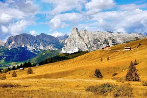 Trek válečnou stezkou Via Lagazuoi v Dolomitech
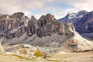 Výstup na Piz Boe - nejlehčí třítisícovku v Dolomitech
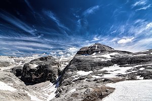 Feratová túra hřebenem Padon v Dolomitech
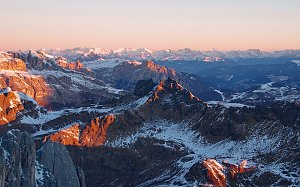 Marmolada - výstup na nejvyšší vrchol Dolomit
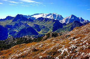 Výstup na Piza da les Diesc v Dolomitech
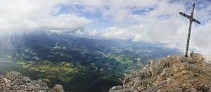 Výstup na Punta Serauta feratou Eterna – Brigata Cadore
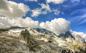 Ferratový okruh v srdci Dolomit s výstupem na Marmoladu
 Corvara in Badia - Corvara: Sassongher - Gardena Pass - Pizes de Cir
 San Cassiano: Alta Badia - Piz Sorega
 Livinallongo del Col di Lana › South: Marmolada
 Badia - Abtei: Alta - Club Moritzino
 Badia - Abtei: La Villa, Alta - Piz La Ila
 Badia - Abtei: La Villa, Alta - Piz La Ila
 Badia - Abtei: La Villa, Alta - Piz La Ila
 Badia - Abtei: La Villa, Alta - Piz La Ila
 Corvara in Badia - Corvara: Badia II, Alta Badia - Piz La Ila Moritzino
 Badia - Abtei › East: Sciovia Armentarola - Hotel Armentarola - Armentarola - Residence Pinais - Piz dles Cunturines
 San Cassiano › East: Sciovia Armentarola − Piz dles Cunturines
 Corvara in Badia - Corvara: Hotel Arkadia
 Corvara in Badia - Corvara: Alta Badia - Boé
 Corvara in Badia - Corvara: Alta Badia - Boé
 Corvara in Badia - Corvara: Alta Badia - Boé
 San Cassiano › South: Hotel Armentarola − Armentarola − Settsass
 Badia - Abtei › South: Hotel Armentarola - Armentarola - Residence Pinais
 Livinallongo del Col di Lana: Arabba - Bec de Roces
 Arabba: Marmolada - Bec de Roces
 Livinallongo del Col di Lana: Arabba rifugio Burz
 San Cassiano: Alta Badia - La Villa
 La Villa: Alta Badia − La Viila − Piste Gran Risa
 Altino: La Villa
 La Villa: Hotel Dolasilla
 Arabba: Marmolada - Rifugio Burz
 Arabba: Rifugio Monte Burz
 Altino: La Villa in Badia
 Arabba: Marmolada - Pista Fodoma
 Livinallongo del Col di Lana: Arabba, Marmolada - Pista Fodoma
 Livinallongo del Col di Lana: Arabba, Marmolada - Pista Fodoma
 Livinallongo del Col di Lana: Arabba, Marmolada - Pista Fodoma

| today | tomorrow | day after tomorrow | |
|---|---|---|---|
| Dawn: | 7:10 | 7:11 | 6:13 |
| Sunrise: | 7:41 | 7:42 | 6:43 |
| Sunset: | 18:12 | 18:10 | 17:08 |
| Dusk: | 18:43 | 18:41 | 17:39 |

